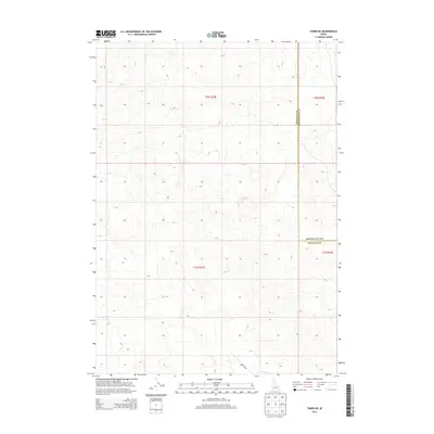
2013 Map of Taber NE
USGS Topo · Published 2013About this map
The high desert terrain of eastern Idaho is defined here by subtle topographic contours and the jurisdictional line between Bingham Co and Bonneville Co. This 2013 survey of the northern Snake River Plain captures a landscape characterized more by its open spaces and public land survey system divisions than by dense settlement. The presence of Hilltop Rd in the southern portion of the quadrangle provides a key point of reference for navigating the undulating surface, where elevations generally shift between 4,750 and 5,400 feet. The map reflects a modern digital era of cartography, focusing on land management boundaries like those for Township 2 North, Range 33 East and neighboring townships, which remain essential for identifying property and mineral rights in this ranching and sagebrush region.
Find a feature on this map
7 named features on this map. Tap any name to fly to it.
Don’t see what you’re looking for? This feature index may not catch every label — zoom into the map to look around manually.
Map Details
Editions of this 2013 Taber NE Map
This is the sole edition of this map. No revisions or reprints were ever made.
Other maps of this area

1955 · Baldy Knoll
USGS Topo · 1:24,000

1955 · Idaho Falls
USGS Topo · 1:250,000

1958 · Idaho Falls
USGS Topo · 1:250,000

1964 · Kettle Butte SW
USGS Topo · 1:24,000

1973 · Olsen
USGS Topo · 1:24,000

1973 · Middle Butte
USGS Topo · 1:24,000

1973 · Taber
USGS Topo · 1:24,000

1973 · Little Butte SW
USGS Topo · 1:24,000

1973 · Little Butte
USGS Topo · 1:24,000

1973 · Taber NE
USGS Topo · 1:24,000