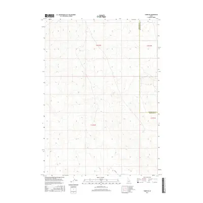
2017 Map of Taber NE
USGS Topo · Published 2017About this map
The high desert landscape of southeastern Idaho is defined by the intersection of Bingham Co and Bonneville Co in this 2017 survey. The terrain is largely characterized by open space and subtle topographic variations, with the built environment represented primarily by the lone corridor of Hilltop Rd in the southern portion of the quadrangle. This map reflects a sparsely settled region where land management and county boundaries are the primary human imprints on the land. The lack of traditional town centers or dense infrastructure highlights the remote character of this part of Idaho, where the Public Land Survey System grids out a landscape dominated by natural elevation changes rather than residential development.
Find a feature on this map
3 named features on this map. Tap any name to fly to it.
Don’t see what you’re looking for? This feature index may not catch every label — zoom into the map to look around manually.
Map Details
Editions of this 2017 Taber NE Map
This is the sole edition of this map. No revisions or reprints were ever made.
Other maps of this area

1955 · Baldy Knoll
USGS Topo · 1:24,000

1955 · Idaho Falls
USGS Topo · 1:250,000

1958 · Idaho Falls
USGS Topo · 1:250,000

1964 · Kettle Butte SW
USGS Topo · 1:24,000

1973 · Olsen
USGS Topo · 1:24,000

1973 · Middle Butte
USGS Topo · 1:24,000

1973 · Taber
USGS Topo · 1:24,000

1973 · Little Butte SW
USGS Topo · 1:24,000

1973 · Little Butte
USGS Topo · 1:24,000

1973 · Taber NE
USGS Topo · 1:24,000