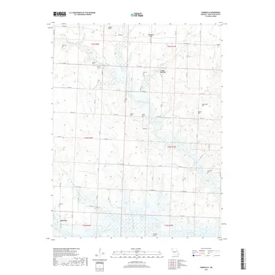
2017 Map of Taberville
USGS Topo · Published 2017About this map
Taberville and the southern reaches of the Osage River anchor this Saint Clair County landscape, where the river winds past the wide marshlands of Baldwin Lakes and Whitley Bend. The terrain is characterized by a high density of rural burial sites, including Ridgeway Cem, Lewellen Cem, and Schoonover Cem, reflecting a long-standing pattern of family and community settlement across the uplands. Small centers like Johnson City and Iuka Springs are connected by a network of county roads such as State HWY B and State HWY BB. The land is defined by prominent rises like Golden Ridge and Grass Hill, which separate numerous drainages including Monegaw Creek and Ditty Cr. This contemporary survey provides a clear view of how these remote Missouri settlements remain centered on the river system and local agriculture.
Find a feature on this map
50 named features on this map. Tap any name to fly to it.
Don’t see what you’re looking for? This feature index may not catch every label — zoom into the map to look around manually.
Map Details
Editions of this 2017 Taberville Map
This is the sole edition of this map. No revisions or reprints were ever made.
Other maps of this area

1886 · Nevada
USGS Topo · 1:125,000

1886 · Stockton
USGS Topo · 1:125,000

1887 · Clinton
USGS Topo · 1:125,000

1887 · Butler
USGS Topo · 1:125,000

1894 · Butler
USGS Topo · 1:125,000

1894 · Nevada
USGS Topo · 1:125,000

1894 · Clinton
USGS Topo · 1:125,000

1934 · Rockville
USGS Topo · 1:24,000

1937 · Tiffin
USGS Topo · 1:31,680

1938 · Monegaw Springs
USGS Topo · 1:24,000