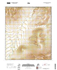
2018 Map of Table Mountain B-1 NE
USGS Topo · Published 2018About this map
Ammerman Creek meanders across this high-altitude landscape in northern Alaska, tracing a path through the northeastern corner of the Yukon-Koyukuk Census Area. The terrain is defined by the sharp transition between the North Slope and the interior, where the United States border with Canada lies just to the east. This 2018 survey captures the intricate topography of the Brooks Range foothills, showcasing the complex drainage patterns and elevation changes across townships t11s r46e and t12s r47e. The absence of roads or permanent structures underscores the isolation of this Arctic environment, where the natural watercourse of the creek serves as the primary geographic marker in a region largely untouched by modern development.
Find a feature on this map
7 named features on this map. Tap any name to fly to it.
Don’t see what you’re looking for? This feature index may not catch every label — zoom into the map to look around manually.
Map Details
Editions of this 2018 Table Mountain B-1 NE Map
This is the sole edition of this map. No revisions or reprints were ever made.
Other maps of this area

1951 · Table Mountain
USGS Topo · 1:250,000

1956 · Table Mountain
USGS Topo · 1:250,000

1964 · Table Mountain
USGS Topo · 1:250,000
1972 · Table Mountain B-1
USGS Topo · 1:63,360
1983 · Table Mountain C-1
USGS Topo · 1:63,360
2018 · Table Mountain B-1 SW
USGS Topo · 1:25,000
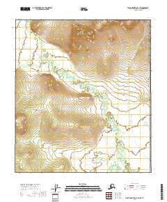
2018 · Table Mountain B-1 SE
USGS Topo · 1:25,000
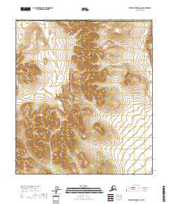
2018 · Table Mountain B-1 NW
USGS Topo · 1:25,000
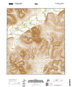
2018 · Table Mountain C-1 SE
USGS Topo · 1:25,000
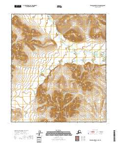
2018 · Table Mountain C-1 SW
USGS Topo · 1:25,000