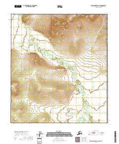
2018 Map of Table Mountain B-1 SE
USGS Topo · Published 2018About this map
Old Crow River meanders through this portion of the Yukon-Koyukuk Census Area, marking a landscape defined by dramatic shifts in elevation and hydrological complexity. The river's winding course is flanked by significant landforms, notably the prominence of Ammerman Mtn in the north and the sprawling Yankee Ridge further south. These features reflect the natural topography of the eastern Alaskan interior, where small tributaries like Ammerman Cr feed into larger river systems. The map captures a moment in the modern era when the international boundary of the United States of America sits just to the east, illustrating how political borders intersect with the raw physical geography of the north.
Find a feature on this map
11 named features on this map. Tap any name to fly to it.
Don’t see what you’re looking for? This feature index may not catch every label — zoom into the map to look around manually.
Map Details
Editions of this 2018 Table Mountain B-1 SE Map
This is the sole edition of this map. No revisions or reprints were ever made.
Other maps of this area

1951 · Table Mountain
USGS Topo · 1:250,000

1956 · Table Mountain
USGS Topo · 1:250,000

1964 · Table Mountain
USGS Topo · 1:250,000
1972 · Table Mountain B-1
USGS Topo · 1:63,360
1972 · Table Mountain A-1
USGS Topo · 1:63,360
2018 · Table Mountain B-1 SW
USGS Topo · 1:25,000
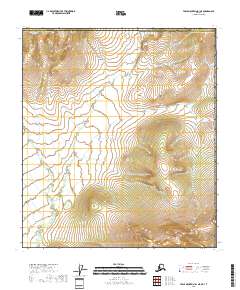
2018 · Table Mountain B-1 NE
USGS Topo · 1:25,000
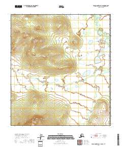
2018 · Table Mountain A-1 NE
USGS Topo · 1:25,000
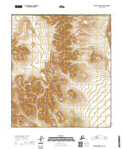
2018 · Table Mountain B-1 NW
USGS Topo · 1:25,000
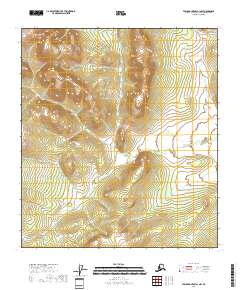
2018 · Table Mountain A-1 NW
USGS Topo · 1:25,000