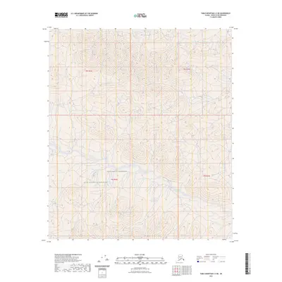
2023 Map of Table Mountain C-2 NE
USGS Topo · Published 2023About this map
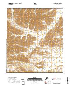
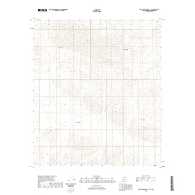
The Mollie Beattie Wilderness defines the interior landscape of this remote portion of the Arctic National Wildlife Refuge. Situated in the North Slope Borough, the terrain is characterized by high-elevation contours and complex drainage patterns that form the headwaters of numerous unnamed streams. This area remains largely untouched by development, preserving a state of natural wilderness within the vast expanse of the refuge. The mapping of the Public Land Survey System grids, including t8s r44e and t9s r44e, provides the primary structural reference for this uninhabited mountainous region. Researchers focusing on northern conservation history or those tracing the boundaries of protected lands will find this topographic study essential for understanding the hydrology and land-management designations of the Brooks Range foothills.
Find a feature on this map
6 named features on this map. Tap any name to fly to it.
Don’t see what you’re looking for? This feature index may not catch every label — zoom into the map to look around manually.
Map Details
Editions of this 2023 Table Mountain C-2 NE Map
This is the sole edition of this map. No revisions or reprints were ever made.
Other maps of this area

1951 · Table Mountain
USGS Topo · 1:250,000

1956 · Table Mountain
USGS Topo · 1:250,000

1964 · Table Mountain
USGS Topo · 1:250,000

1983 · Table Mountain D-2
USGS Topo · 1:63,360

1983 · Table Mountain D-1
USGS Topo · 1:63,360
1983 · Table Mountain C-1
USGS Topo · 1:63,360
1983 · Table Mountain C-2
USGS Topo · 1:63,360
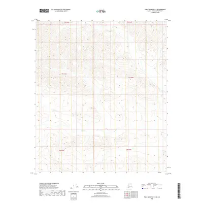
2018 · Table Mountain D-2 SE
USGS Topo · 1:25,000
2018 · Table Mountain C-2 SE
USGS Topo · 1:25,000
2018 · Table Mountain C-2 NE
USGS Topo · 1:25,000