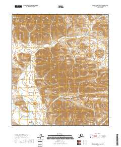
2018 Map of Table Mountain C-3 NE
USGS Topo · Published 2018About this map
The Davidson Mountains dominate the landscape in this remote reach of the North Slope, defined by a complex network of high ridges and deep valleys. This 2018 survey emphasizes the pure topography of the Alaskan interior, where natural landforms are the primary identifiers across vast tracts of territory. The lack of man-made structures, roads, or named settlements highlights the area's wilderness character within the Arctic National Wildlife Refuge. Surveyed by the U.S. Geological Survey using SPOT imagery and recent elevation data, the map reveals the intricate drainage patterns that carve through the high elevations of the eastern Brooks Range. Researchers focusing on land management and natural history will find the precise contour work essential for understanding the physical geography of the Davidson Mountains.
Find a feature on this map
6 named features on this map. Tap any name to fly to it.
Don’t see what you’re looking for? This feature index may not catch every label — zoom into the map to look around manually.
Map Details
Editions of this 2018 Table Mountain C-3 NE Map
This is the sole edition of this map. No revisions or reprints were ever made.
Other maps of this area

1951 · Table Mountain
USGS Topo · 1:250,000

1956 · Table Mountain
USGS Topo · 1:250,000

1964 · Table Mountain
USGS Topo · 1:250,000

1983 · Table Mountain D-2
USGS Topo · 1:63,360
1983 · Table Mountain D-3
USGS Topo · 1:63,360
1983 · Table Mountain C-3
USGS Topo · 1:63,360
1983 · Table Mountain C-2
USGS Topo · 1:63,360
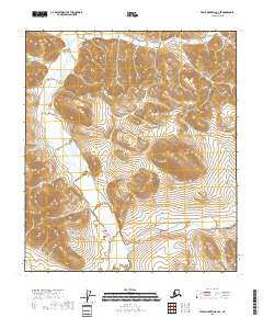
2018 · Table Mountain C-3 SE
USGS Topo · 1:25,000
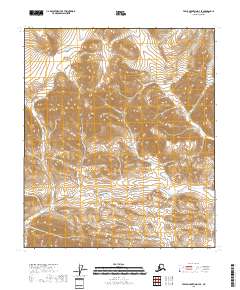
2018 · Table Mountain D-3 SE
USGS Topo · 1:25,000
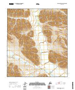
2018 · Table Mountain C-3 SW
USGS Topo · 1:25,000