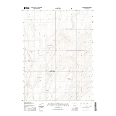
2015 Map of Table Mountain
USGS Topo · Published 2015About this map
Wasatch National Forest dominates this high-elevation terrain in southern Uinta County, where the landscape is defined by massive flat-topped formations and seasonal drainages. Rising over 9,000 feet, Table Mtn and Cottonwood Mtn overlook a complex network of creeks including Sage Cr, Little Sage Cr, and Cottonwood Cr. These waterways feed into the southern corridor of Henrys Fork, a primary drainage for the northern Uinta foothills.
Find a feature on this map
24 named features on this map. Tap any name to fly to it.
Don’t see what you’re looking for? This feature index may not catch every label — zoom into the map to look around manually.
Map Details
Editions of this 2015 Table Mountain Map
This is the sole edition of this map. No revisions or reprints were ever made.
Other maps of this area

1885 · Uinta
USGS Topo · 1:250,000

1905 · Gilbert Peak
USGS Topo · 1:125,000

1906 · Gilbert Peak
USGS Topo · 1:125,000

1954 · Salt Lake City
USGS Topo · 1:250,000

1954 · Ogden
USGS Topo · 1:250,000

1958 · Ogden
USGS Topo · 1:250,000

1958 · Salt Lake City
USGS Topo · 1:250,000

1960 · Ogden
USGS Topo · 1:250,000

1960 · Salt Lake City
USGS Topo · 1:250,000

1964 · Reed Reservoir
USGS Topo · 1:24,000