
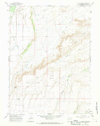
1964 Map of Reed Reservoir
USGS Topo · Published 1968About this map
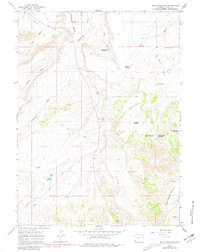
Cottonwood Bench and the high elevations of Sage Creek Mountain define this corner of Uinta County during the mid-1960s. This survey records a landscape shaped by water management and resource extraction, characterized by a complex network of reservoirs and pits. To the west, Reed Reservoir and Cottonwood Reservoir sit near the base of the bench, while higher ground to the east is dotted with smaller water features like Whisky Reservoir, Clematis Reservoir, and Balsam Root Reservoir.
Find a feature on this map
23 named features on this map. Tap any name to fly to it.
Don’t see what you’re looking for? This feature index may not catch every label — zoom into the map to look around manually.
Map Details
Editions of this 1964 Reed Reservoir Map
2 editions found
Other maps of this area

1954 · Ogden
USGS Topo · 1:250,000

1958 · Ogden
USGS Topo · 1:250,000

1960 · Ogden
USGS Topo · 1:250,000

1964 · Butcher Knife Draw
USGS Topo · 1:24,000

1964 · Soap Holes Reservoir
USGS Topo · 1:24,000

1964 · Mountain View
USGS Topo · 1:24,000
1964 · Lonetree
USGS Topo · 1:24,000
1964 · Table Mountain
USGS Topo · 1:24,000
1964 · Burntfork
USGS Topo · 1:24,000
1964 · Leavitt Bench
USGS Topo · 1:24,000