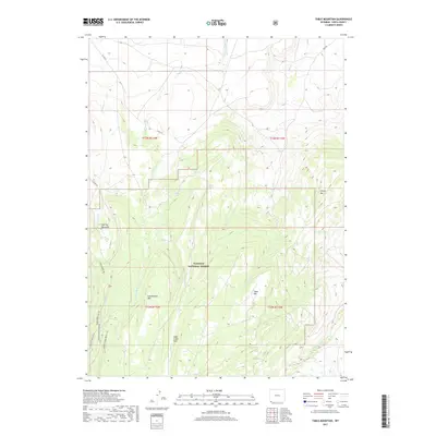
2017 Map of Table Mountain
USGS Topo · Published 2017About this map
Wasatch National Forest dominates the southern half of this landscape, where the high terrain of Table Mtn and Cottonwood Mtn rises above the drainage basins of the Henrys Fork and Sage Cr. This high-altitude region in Uinta County is marked by a network of seasonal water sources and clearings such as Gourley Meadows and Sage Creek Park. The distribution of natural springs, including Whiskey Spring and Big Spring, suggests a landscape historically vital for livestock grazing and early high-country transit.
Find a feature on this map
28 named features on this map. Tap any name to fly to it.
Don’t see what you’re looking for? This feature index may not catch every label — zoom into the map to look around manually.
Map Details
Editions of this 2017 Table Mountain Map
This is the sole edition of this map. No revisions or reprints were ever made.
Other maps of this area

1885 · Uinta
USGS Topo · 1:250,000

1905 · Gilbert Peak
USGS Topo · 1:125,000

1906 · Gilbert Peak
USGS Topo · 1:125,000

1954 · Salt Lake City
USGS Topo · 1:250,000

1954 · Ogden
USGS Topo · 1:250,000

1958 · Ogden
USGS Topo · 1:250,000

1958 · Salt Lake City
USGS Topo · 1:250,000

1960 · Ogden
USGS Topo · 1:250,000

1960 · Salt Lake City
USGS Topo · 1:250,000

1964 · Reed Reservoir
USGS Topo · 1:24,000