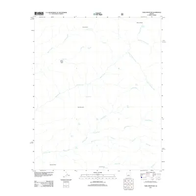
2011 Map of Table Mountain
USGS Topo · Published 2011About this map
Table Mountain and the surrounding high desert of Maricopa County are defined by an intricate network of seasonal drainages and hidden water sources. The landscape is carved by significant channels like Davenport Wash and Mazatzal Wash, which collect runoff from the higher elevations of Davenport Peak. These waterways are fed by a surprising density of named springs, including Divide Spring, Midway Spring, and Red Rock Spring, which historically served as critical waypoints in this arid environment.
Find a feature on this map
27 named features on this map. Tap any name to fly to it.
Don’t see what you’re looking for? This feature index may not catch every label — zoom into the map to look around manually.
Map Details
Editions of this 2011 Table Mountain Map
This is the sole edition of this map. No revisions or reprints were ever made.
Other maps of this area

1887 · Verde
USGS Topo · 1:250,000

1892 · Verde
USGS Topo · 1:250,000

1907 · Roosevelt
USGS Topo · 1:125,000

1909 · Four Peaks
USGS Topo · 1:125,000

1912 · Roosevelt
USGS Topo · 1:125,000

1929 · Turret Peak
USGS Topo · 1:125,000

1930 · Cave Creek
USGS Topo · 1:125,000

1933 · Turret Peak
USGS Topo · 1:125,000

1936 · Payson
USGS Topo · 1:48,000

1939 · Cave Creek
USGS Topo · 1:125,000