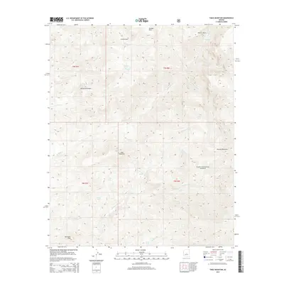
2014 Map of Table Mountain
USGS Topo · Published 2014About this map
Tonto National Forest defines the rugged geography of this 2014 survey, where high desert elevations transition across dramatic landforms. The namesake Table Mountain stands as a central anchor, surrounded by complex drainage systems and isolated springs that have historically sustained life in this arid environment. Significant water sources such as Maverick Spring, Willow Spring, and Red Rock Spring are found throughout the basins, illustrating a landscape where reliable water is the primary driver of movement and activity.
Find a feature on this map
33 named features on this map. Tap any name to fly to it.
Don’t see what you’re looking for? This feature index may not catch every label — zoom into the map to look around manually.
Map Details
Editions of this 2014 Table Mountain Map
This is the sole edition of this map. No revisions or reprints were ever made.
Other maps of this area

1887 · Verde
USGS Topo · 1:250,000

1892 · Verde
USGS Topo · 1:250,000

1907 · Roosevelt
USGS Topo · 1:125,000

1909 · Four Peaks
USGS Topo · 1:125,000

1912 · Roosevelt
USGS Topo · 1:125,000

1929 · Turret Peak
USGS Topo · 1:125,000

1930 · Cave Creek
USGS Topo · 1:125,000

1933 · Turret Peak
USGS Topo · 1:125,000

1936 · Payson
USGS Topo · 1:48,000

1939 · Cave Creek
USGS Topo · 1:125,000