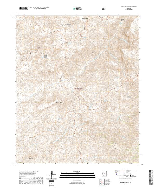
2021 Map of Table Mountain
USGS Topo · Published 2021About this map
The Tonto National Forest high country in Yavapai County is defined by a network of drainage basins and ridges that feed the Verde River watershed. Central to the landscape is the namesake Table Mtn, a prominent landform surrounded by a complex system of seasonal creeks and springs, including Deadman Cr and Bear Cr. The map documents a rugged interior accessible primarily by a historic trail network, most notably the Dutchman Grave Trl and Dead Man Trl, which navigate the steep transitions between Midnight Mesa and the lower basins. The southern portion of the sheet is dominated by the western slopes of the Mazatzal Mountains, where high peaks like Davenport Peak overlook the deep incisions of Davenport Wash and Mazatzal Wash, illustrating the natural barriers that once governed movement through this portion of central Arizona.
Find a feature on this map
41 named features on this map. Tap any name to fly to it.
Don’t see what you’re looking for? This feature index may not catch every label — zoom into the map to look around manually.
Map Details
Editions of this 2021 Table Mountain Map
This is the sole edition of this map. No revisions or reprints were ever made.
Other maps of this area

1887 · Verde
USGS Topo · 1:250,000

1892 · Verde
USGS Topo · 1:250,000

1907 · Roosevelt
USGS Topo · 1:125,000

1909 · Four Peaks
USGS Topo · 1:125,000

1912 · Roosevelt
USGS Topo · 1:125,000

1929 · Turret Peak
USGS Topo · 1:125,000

1930 · Cave Creek
USGS Topo · 1:125,000

1933 · Turret Peak
USGS Topo · 1:125,000

1936 · Payson
USGS Topo · 1:48,000

1939 · Cave Creek
USGS Topo · 1:125,000