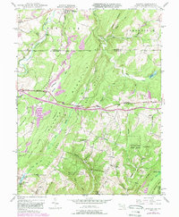
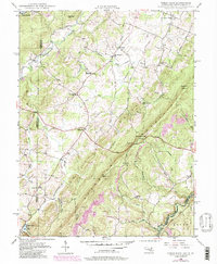
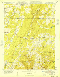
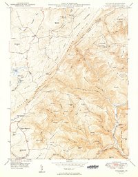
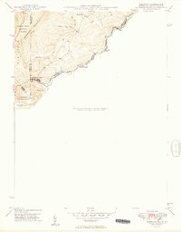
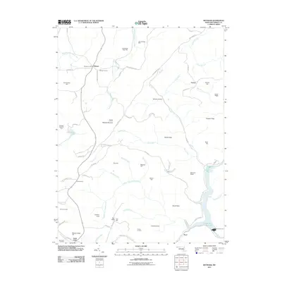
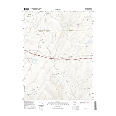
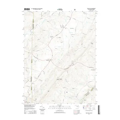
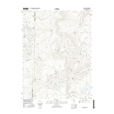
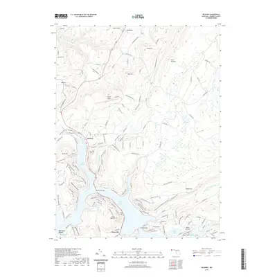
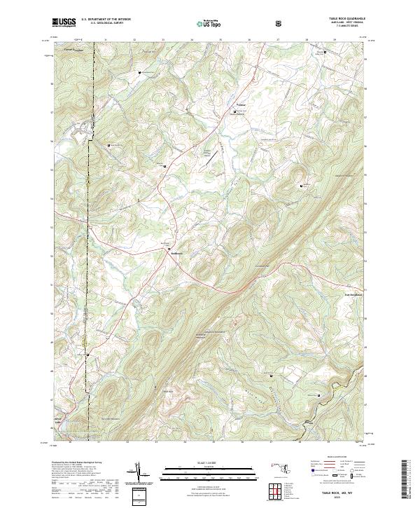
1948 Map of Table Rock
USGS Topo · Published 1975About this map
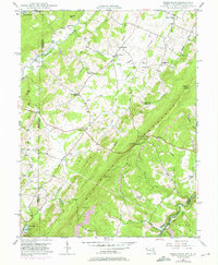
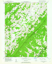
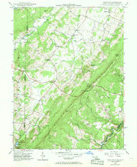
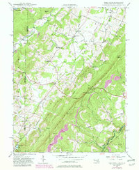
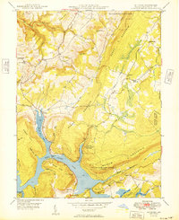
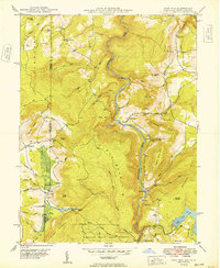
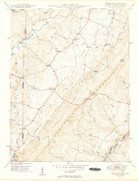
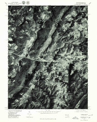
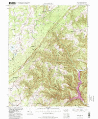
The Youghiogheny River carves through the Maryland and West Virginia borderlands in this mid-century topography, where the high ridges of Little Backbone Mountain and Allegheny Heights dominate the landscape. The survey captures a network of rural life centered on crossroads like Redhouse and Gortner, where the social fabric is marked by community landmarks such as Sunnyside Grange Hall and Shady Dell Grange Hall. Significant for local historians is the documentation of smaller educational and religious institutions, including Lyndale Sch and Fairview Ch, many of which served isolated mountain families.
Find a feature on this map
55 named features on this map. Tap any name to fly to it.
Don’t see what you’re looking for? This feature index may not catch every label — zoom into the map to look around manually.
Map Details
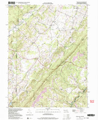
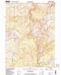
Editions of this 1948 Table Rock Map
5 editions found
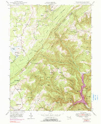
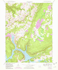
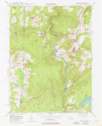
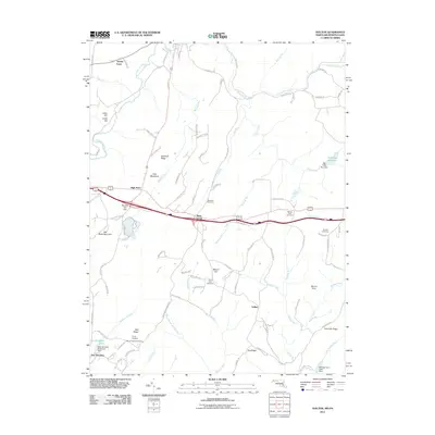
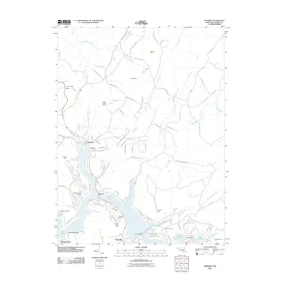
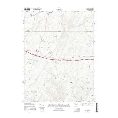
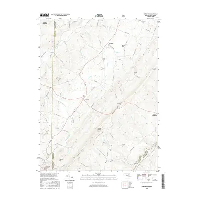
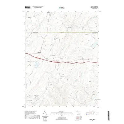
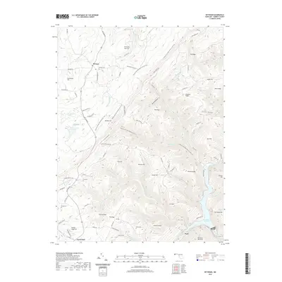
Historical Maps of Gortner Through Time
40 maps found
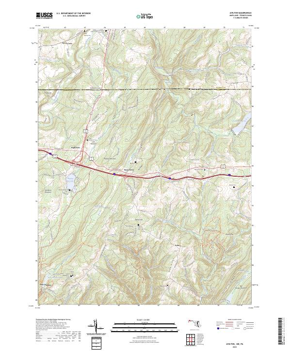
1947 Avilton
Garrett County, MD
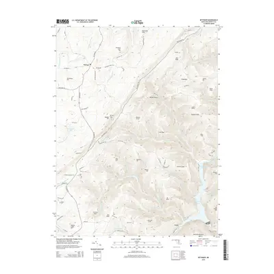
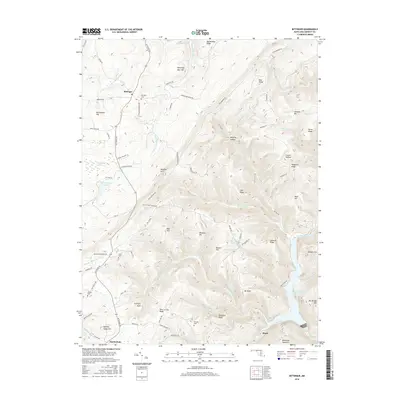
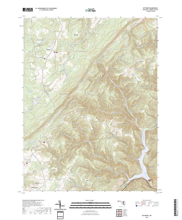
1947 Bittinger
Garrett County, MD
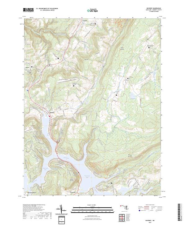
1947 McHenry
Garrett County, MD
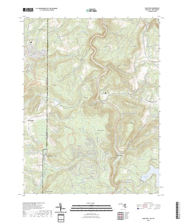
1947 Sang Run
Garrett County, MD
1948 Table Rock
Garrett County, MD
1949 Avilton
Garrett County, MD
1949 Bittinger
Garrett County, MD
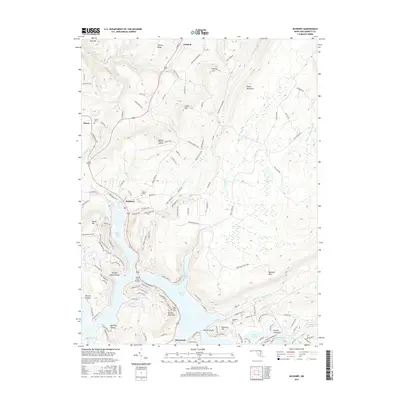
1949 Kempton
Garrett County, MD
1949 McHenry
Garrett County, MD
1949 Sang Run
Garrett County, MD
1949 Table Rock
Garrett County, MD
1977 Avilton
Garrett County, MD
1994 Bittinger
Garrett County, MD
1997 Table Rock
Garrett County, MD
1999 Sang Run
Garrett County, MD
2011 Avilton
Garrett County, MD
2011 Bittinger
Garrett County, MD
2011 McHenry
Garrett County, MD
2011 Sang Run
Garrett County, MD
2011 Table Rock
Garrett County, MD
2014 Avilton
Garrett County, MD
2014 Bittinger
Garrett County, MD
2014 McHenry
Garrett County, MD
2014 Sang Run
Garrett County, MD
2014 Table Rock
Garrett County, MD
2016 Avilton
Garrett County, MD
2016 Bittinger
Garrett County, MD
2016 McHenry
Garrett County, MD
2016 Sang Run
Garrett County, MD
2016 Table Rock
Garrett County, MD
2019 Avilton
Garrett County, MD
2019 Bittinger
Garrett County, MD
2019 McHenry
Garrett County, MD
2019 Sang Run
Garrett County, MD
2019 Table Rock
Garrett County, MD
2023 Avilton
Garrett County, MD
2023 Bittinger
Garrett County, MD
2023 McHenry
Garrett County, MD
2023 Sang Run
Garrett County, MD
2023 Table Rock
Garrett County, MD