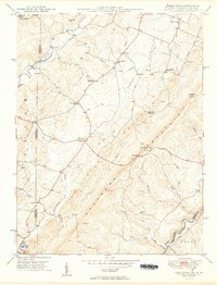
1949 Map of Table Rock
USGS Topo · Published 1949About this map
Little Backbone Mountain dominates the center of this 1940s landscape, serving as a high divide between the waters of the Youghiogheny River to the west and the North Branch Potomac River to the southeast. The area is characterized by high-elevation farming and early strip mining, evidenced by the scattered community hubs of Sunnyside and Redhouse. Local social life is anchored by family-named landmarks and rural institutions, including the Shady Dell Grange Hall and several small schools like Swan Meadow Sch.
Find a feature on this map
50 named features on this map. Tap any name to fly to it.
Don’t see what you’re looking for? This feature index may not catch every label — zoom into the map to look around manually.
Map Details
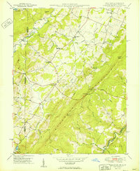
Editions of this 1949 Table Rock Map
2 editions found
Other maps of this area

1886 · St. George
USGS Topo · 1:125,000

1891 · St. George
USGS Topo · 1:125,000

1895 · Piedmont
USGS Topo · 1:125,000

1899 · Oakland
USGS Topo · 1:62,500

1900 · Oakland
USGS Topo · 1:62,500

1907 · Kingwood
USGS Topo · 1:62,500

1908 · Parsons
USGS Topo · 1:62,500

1916 · Davis
USGS Topo · 1:48,000

1918 · Davis
USGS Topo · 1:62,500

1919 · Davis
USGS Topo · 1:62,500