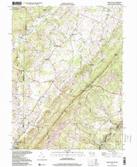
1997 Map of Table Rock
USGS Topo · Published 2001About this map
Backbone Mountain anchors this high-elevation landscape along the border of Maryland and West Virginia, where the Youghiogheny River and North Branch Potomac River drain separate watersheds. The rural character of Gortner and Redhouse is defined by a dense network of civic and religious landmarks, including the Sunnyside Grange Hall and Shady Dell Grange Hall, which once served as vital social hubs for the farming community.
Find a feature on this map
52 named features on this map. Tap any name to fly to it.
Don’t see what you’re looking for? This feature index may not catch every label — zoom into the map to look around manually.
Map Details
Editions of this 1997 Table Rock Map
2 editions found
Other maps of this area

1886 · St. George
USGS Topo · 1:125,000

1891 · St. George
USGS Topo · 1:125,000

1895 · Piedmont
USGS Topo · 1:125,000

1899 · Oakland
USGS Topo · 1:62,500

1900 · Oakland
USGS Topo · 1:62,500

1907 · Kingwood
USGS Topo · 1:62,500

1908 · Parsons
USGS Topo · 1:62,500

1916 · Davis
USGS Topo · 1:48,000

1918 · Davis
USGS Topo · 1:62,500

1919 · Davis
USGS Topo · 1:62,500