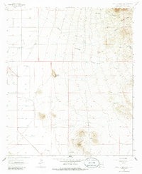
1964 Map of Table Top Mountain
USGS Topo · Published 1986About this map
Table Top Mountain rises above a desert landscape defined by ranching and water management in this mid-1960s survey of Hidalgo County. The map documents the vital infrastructure of the arid West, where named ranch sites like Wamel Ranch and the Quarter Circle W Ranch are supported by a network of engineered water sources, including the Washburn Well, Humig Well, and Section Two Tank. The presence of a Cotton Gin and the Cotton City Landing Area near the western edge indicates a specialized agricultural pocket reliant on groundwater and local aviation.
Find a feature on this map
24 named features on this map. Tap any name to fly to it.
Don’t see what you’re looking for? This feature index may not catch every label — zoom into the map to look around manually.
Map Details
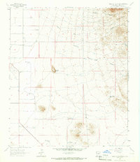
Editions of this 1964 Table Top Mountain Map
2 editions found
Other maps of this area

1918 · Playas
USGS Topo · 1:62,500

1918 · Pratt
USGS Topo · 1:62,500

1919 · Pratt
USGS Topo · 1:62,500

1919 · Playas
USGS Topo · 1:62,500

1954 · Silver City
USGS Topo · 1:250,000

1955 · Douglas
USGS Topo · 1:250,000

1958 · Silver City
USGS Topo · 1:250,000

1959 · Douglas
USGS Topo · 1:250,000

1961 · Douglas
USGS Topo · 1:250,000

1962 · Silver City
USGS Topo · 1:250,000