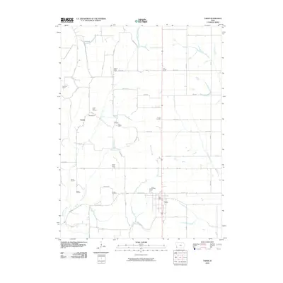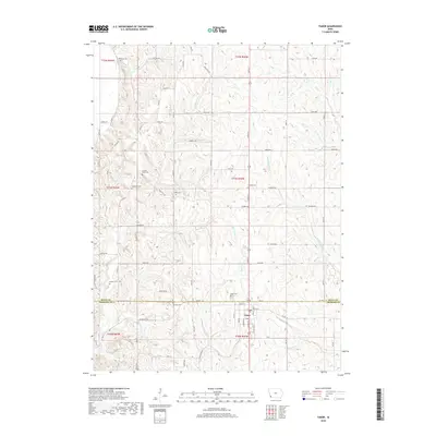
2022 Map of Tabor
USGS Topo · Published 2022About this map
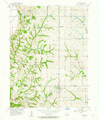
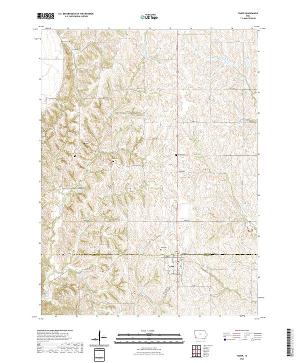
Tabor sits at the intersection of Mills Co and Fremont Co in southwest Iowa, serving as the primary anchor for this rural landscape. The settlement is defined by a traditional street grid including Jackson Blvd, Center St, and Park St, surrounded by an extensive network of farm-to-market roads and named avenues. The region's history is deeply etched into the land through numerous family and community burial grounds, such as Linville Farm Cem, Estes Cem, and the Rhodes Cem located just south of the county line.
Find a feature on this map
62 named features on this map. Tap any name to fly to it.
Don’t see what you’re looking for? This feature index may not catch every label — zoom into the map to look around manually.
Map Details
Editions of this 2022 Tabor Map
This is the sole edition of this map. No revisions or reprints were ever made.
Historical Maps of Tabor Through Time
6 maps found