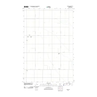
2010 Map of Tabor
USGS Topo · Published 2010About this map
Tabor and Sherack anchor this 2010 survey of a highly organized agricultural landscape in Polk County, Minnesota. The terrain is defined by the rigid grid of section lines and drainage infrastructure, most notably the long, straight reach of Judicial Ditch 75. This area preserves several distinct burial grounds that reflect the local community's heritage, including the Presbyterian Cemetery, Holy Trinity Catholic Cemetery, and the eponymous Tabor Cemetery.
Find a feature on this map
14 named features on this map. Tap any name to fly to it.
Don’t see what you’re looking for? This feature index may not catch every label — zoom into the map to look around manually.
Map Details
Editions of this 2010 Tabor Map
This is the sole edition of this map. No revisions or reprints were ever made.
Other maps of this area

1918 · Angus
USGS Topo · 1:62,500

1918 · Warren
USGS Topo · 1:62,500

1952 · Grand Forks
USGS Topo · 1:250,000

1952 · Thief River Falls
USGS Topo · 1:250,000

1953 · Crookston
USGS Topo · 1:62,500

1955 · Warren
USGS Topo · 1:62,500

1956 · Thief River Falls
USGS Topo · 1:250,000

1956 · Grand Forks
USGS Topo · 1:250,000

1957 · Thief River Falls
USGS Topo · 1:250,000
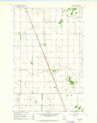
1961 · Angus
USGS Topo · 1:24,000