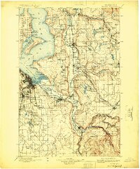
1900 Map of Tacoma
USGS Topo · Published 1924About this map
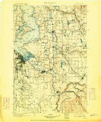
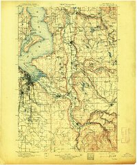
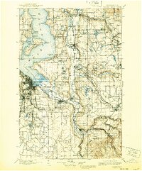
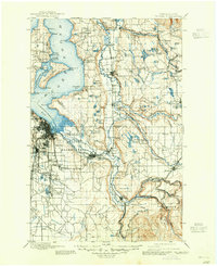
The Puyallup Indian Reservation and Muckleshoot Indian Reservation anchor the river valleys in this late 19th-century survey of the South Sound. The landscape is defined by the heavy presence of rail infrastructure, including the Northern Pacific R. R. and the Puget Sound Shore R. R., which connect coal-mining outposts like Carbonado and Wilkeson to the shipping hubs of Tacoma and Seattle. Along the shoreline, Vashon Island and Maury Island are shown with early settlements such as Chautauqua and Vashon Center, reflecting the maritime orientation of the era.
Find a feature on this map
130 named features on this map. Tap any name to fly to it.
Don’t see what you’re looking for? This feature index may not catch every label — zoom into the map to look around manually.
Map Details
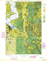
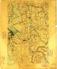
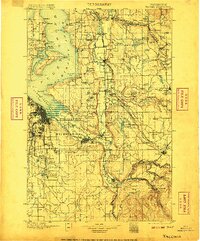
Editions of this 1900 Tacoma Map
9 editions found
Other maps of this area

1894 · Seattle
USGS Topo · 1:62,500

1895 · Snohomish
USGS Topo · 1:125,000

1897 · Tacoma
USGS Topo · 1:125,000

1897 · Seattle
USGS Topo · 1:125,000

1900 · Tacoma
USGS Topo · 1:125,000

1908 · Seattle
USGS Topo · 1:62,500

1909 · Seattle Special
USGS Topo · 1:62,500

1913 · Cedar Lake
USGS Topo · 1:125,000

1916 · Chehalis
USGS Topo · 1:125,000

1921 · Sultan
USGS Topo · 1:125,000