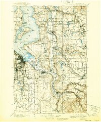
1900 Map of Tacoma
USGS Topo · Published 1940About this map
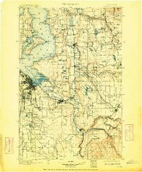
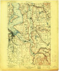
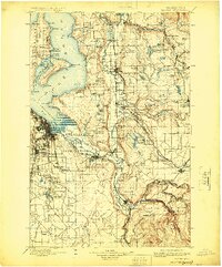
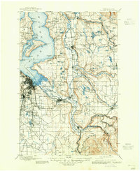
The Puyallup Indian Reservation and Muckleshoot Indian Reservation anchor this late 19th-century landscape, illustrating the complex intersection of indigenous lands and rapid industrial expansion. From the deep waters of Commencement Bay, the Northern Pacific Railway and the Puget Sound Shore Line strike inland, following the river valleys to connect burgeoning coal and timber centers like Carbonado, Wilkeson, and Black Diamond. The map documents a time when the White River and Stuck River still maintained their historic courses before major twentieth-century diversions changed the regional hydrology.
Find a feature on this map
153 named features on this map. Tap any name to fly to it.
Don’t see what you’re looking for? This feature index may not catch every label — zoom into the map to look around manually.
Map Details
Editions of this 1900 Tacoma Map
9 editions found
Other maps of this area

1894 · Seattle
USGS Topo · 1:62,500

1895 · Snohomish
USGS Topo · 1:125,000

1897 · Tacoma
USGS Topo · 1:125,000

1897 · Seattle
USGS Topo · 1:125,000

1900 · Tacoma
USGS Topo · 1:125,000

1908 · Seattle
USGS Topo · 1:62,500

1909 · Seattle Special
USGS Topo · 1:62,500

1913 · Cedar Lake
USGS Topo · 1:125,000

1916 · Chehalis
USGS Topo · 1:125,000

1921 · Sultan
USGS Topo · 1:125,000