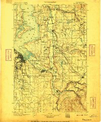
1900 Map of Tacoma
USGS Topo · Published 1906About this map
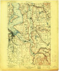
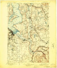
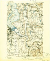
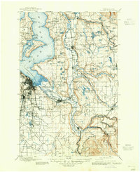
Puget Sound Admiralty Inlet and its intricate shoreline dominate this late nineteenth-century survey, revealing a landscape defined by water and early rail infrastructure. The Puyallup Indian Reservation sits at the head of Commencement Bay, while the Muckleshoot Indian Reservation spans the confluence of the White River and Stuck River. These river valleys form a critical corridor for the Northern Pacific Railway, connecting growing agricultural and industrial hubs like Puyallup, Sumner, and Auburn.
Find a feature on this map
145 named features on this map. Tap any name to fly to it.
Don’t see what you’re looking for? This feature index may not catch every label — zoom into the map to look around manually.
Map Details
Editions of this 1900 Tacoma Map
9 editions found
Other maps of this area

1894 · Seattle
USGS Topo · 1:62,500

1895 · Snohomish
USGS Topo · 1:125,000

1897 · Tacoma
USGS Topo · 1:125,000

1897 · Seattle
USGS Topo · 1:125,000

1900 · Tacoma
USGS Topo · 1:125,000

1908 · Seattle
USGS Topo · 1:62,500

1909 · Seattle Special
USGS Topo · 1:62,500

1913 · Cedar Lake
USGS Topo · 1:125,000

1916 · Chehalis
USGS Topo · 1:125,000

1921 · Sultan
USGS Topo · 1:125,000