
1900 Map of Tacoma
USGS Topo · Published 1900About this map
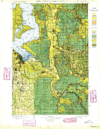
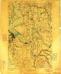
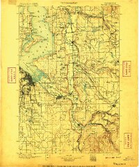
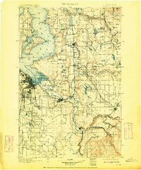
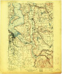
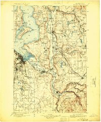
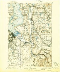
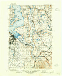
Commencement Bay and the growing port of Tacoma serve as the western anchor for this late nineteenth-century landscape, where river valleys meet the deep waters of Puget Sound. The map reveals a complex web of industrial and cultural boundaries, most notably the Muckleshoot Indian Reservation and Puyallup Indian Reservation. To the east, the terrain rises into the coal-rich foothills where rail lines like the Northern Pacific Railway and the St. Paul and Minneapolis Ry. connect mining settlements such as Black Diamond, Wilkeson, and Carbonado to the coast.
Find a feature on this map
152 named features on this map. Tap any name to fly to it.
Don’t see what you’re looking for? This feature index may not catch every label — zoom into the map to look around manually.
Map Details
Editions of this 1900 Tacoma Map
9 editions found
Other maps of this area

1894 · Seattle
USGS Topo · 1:62,500

1895 · Snohomish
USGS Topo · 1:125,000

1897 · Tacoma
USGS Topo · 1:125,000

1897 · Seattle
USGS Topo · 1:125,000

1908 · Seattle
USGS Topo · 1:62,500

1909 · Seattle Special
USGS Topo · 1:62,500

1913 · Cedar Lake
USGS Topo · 1:125,000

1916 · Chehalis
USGS Topo · 1:125,000

1921 · Sultan
USGS Topo · 1:125,000

1923 · Sultan
USGS Topo · 1:125,000