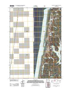
2011 Map of Tahkenitch Creek
USGS Topo · Published 2011About this map
Tahkenitch Lake dominates the eastern edge of this coastal landscape, its complex shoreline defined by features like Weed Island, Jewitt Island, and the reaching waters of Deer Arm. This 2011 survey by the U.S. Geological Survey documents the interface between the Pacific Ocean and a string of freshwater bodies separated from the salt by a narrow corridor of coastal dunes and forest. The drainage of Tahkenitch Creek and Threemile Creek carves through the terrain, connecting a series of smaller lakes including Carter Lake, Elbow Lake, and Threemile Lake. Recreational infrastructure is central to the area's modern identity, with the Tahkenitch Boat Ramp, Stagecoach Trailhead, and Crown Zellerbach Campground providing access points for navigation and exploration along the Oregon coast.
Find a feature on this map
29 named features on this map. Tap any name to fly to it.
Don’t see what you’re looking for? This feature index may not catch every label — zoom into the map to look around manually.
Map Details
Editions of this 2011 Tahkenitch Creek Map
This is the sole edition of this map. No revisions or reprints were ever made.
Other maps of this area

1920 · Siltcoos Lake
USGS Topo · 1:62,500

1923 · Reedsport
USGS Topo · 1:62,500

1941 · Siltcoos Lake
USGS Topo · 1:62,500

1942 · Siltcoos Lake
USGS Topo · 1:62,500

1942 · Reedsport
USGS Topo · 1:62,500

1954 · Coos Bay
USGS Topo · 1:250,000
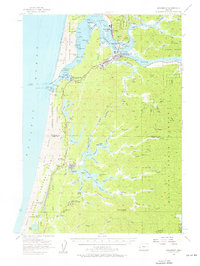
1956 · Reedsport
USGS Topo · 1:62,500
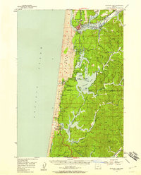
1956 · Siltcoos Lake
USGS Topo · 1:62,500

1958 · Coos Bay
USGS Topo · 1:250,000

1962 · Coos Bay
USGS Topo · 1:250,000