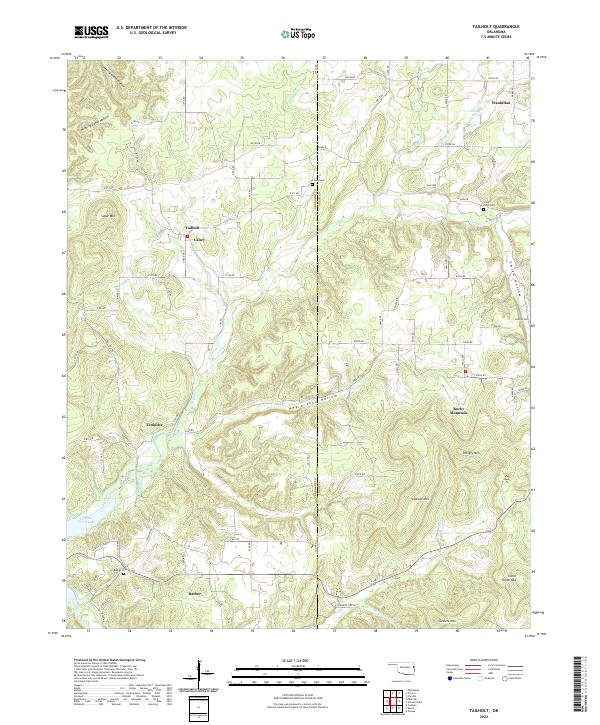
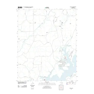
2022 Map of Tailholt
USGS Topo · Published 2022About this map
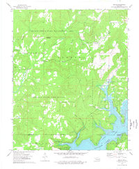
Wauhillau and Tailholt sit within a landscape of significant relief along the border of Cherokee and Adair counties. The terrain is defined by prominent elevations like Hungry Mtn and the curiously named Gittin Down Mtn, separated by deep drainage paths such as Negro Jake Hollow and Minning Camp Hollow. Water is central to the area's geography, with the southern reaches featuring Tenkiller Ferry Lake and the winding course of Caney Creek.
Find a feature on this map
52 named features on this map. Tap any name to fly to it.
Don’t see what you’re looking for? This feature index may not catch every label — zoom into the map to look around manually.
Map Details
Editions of this 2022 Tailholt Map
This is the sole edition of this map. No revisions or reprints were ever made.
Historical Maps of Tailholt Through Time
22 maps found
1972 Hulbert NE
Cherokee County, OK
1972 Hulbert NW
Cherokee County, OK
1972 Hulbert SE
Cherokee County, OK
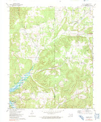
1972 Tailholt
Cherokee County, OK
1972 Webbers Falls NE
Cherokee County, OK
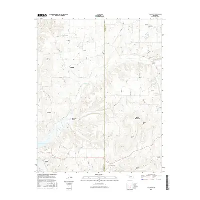
1974 Qualls
Cherokee County, OK
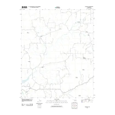
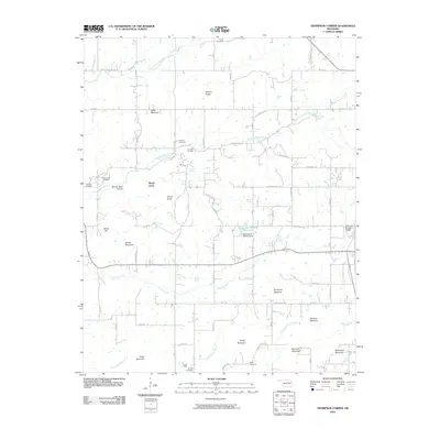
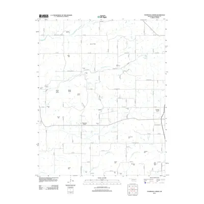
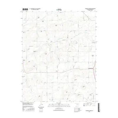
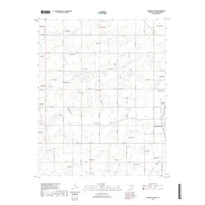
1974 Thompson Corner
Cherokee County, OK
2010 Qualls
Cherokee County, OK
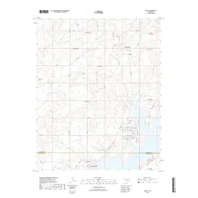
2010 Tailholt
Cherokee County, OK
2010 Thompson Corner
Cherokee County, OK
2012 Qualls
Cherokee County, OK
2012 Tailholt
Cherokee County, OK
2012 Thompson Corner
Cherokee County, OK
2016 Qualls
Cherokee County, OK
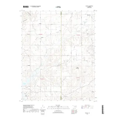
2016 Tailholt
Cherokee County, OK
2016 Thompson Corner
Cherokee County, OK
2019 Qualls
Cherokee County, OK
2019 Tailholt
Cherokee County, OK
2019 Thompson Corner
Cherokee County, OK
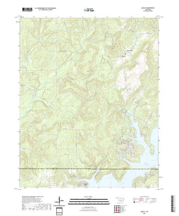
2022 Qualls
Cherokee County, OK
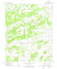
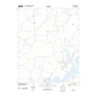
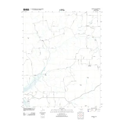
2022 Tailholt
Cherokee County, OK
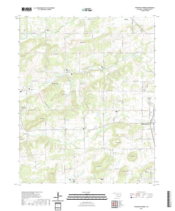
2022 Thompson Corner
Cherokee County, OK