Loading...
Loading map...1972 Map of Tahlequah
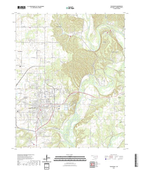
USGS Topo · Published 1974About this map
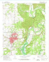
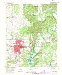
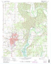
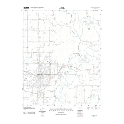
Tahlequah serves as the focal point of this 1972 survey, situated at the confluence of several cultural and geographic markers in Cherokee County. The town is depicted as a thriving academic and administrative hub, anchored by the Northeastern State College campus and the historic Cherokee Sch. Residential expansion is evident across the Grandview area, while the town's south is marked by institutional landmarks like the Markoma Bible Academy and the Tahlequah Cemetery.
Find a feature on this map
49 named features on this map. Tap any name to fly to it.
Don’t see what you’re looking for? This feature index may not catch every label — zoom into the map to look around manually.
Map Details
Date Portrayed1972
Date Published1974
PublisherU.S. Geological Survey
Map TypeTopographic
Scale1:24,000
Physical Dimensions21.6 x 27.4 inches
Editions of this 1972 Tahlequah Map
3 editions found
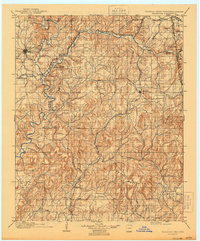
Historical Maps of Tahlequah Through Time
9 maps found


Featured Locations
Source Details
SourceU.S. Geological Survey
CopyrightPublic Domain