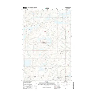
2016 Map of Tait Lake
USGS Topo · Published 2016About this map
Superior National Forest encompasses this wilderness region of Cook County, where a dense network of glacial lakes and interconnecting waterways defines the landscape. The hydrography is notably complex, featuring the Tait River and Mississippi Creek, alongside large bodies of water such as Cascade Lake and Tait Lake. This 2016 survey documents a modern recreation and timber-access infrastructure, centered on multi-use corridors like The Grade and the Caribou Trail. While most of the area remains undeveloped, specific human activity is marked by the Tait Lake Boat Landing and the Mississippi Creek Pit. Local transit is supported by a variety of specialized routes, including the Muehlberg Snowmobile Trail and several loops like the Pike Lake Loop, reflecting the area's contemporary role as a hub for outdoor tourism and forest management.
Find a feature on this map
45 named features on this map. Tap any name to fly to it.
Don’t see what you’re looking for? This feature index may not catch every label — zoom into the map to look around manually.
Map Details
Editions of this 2016 Tait Lake Map
This is the sole edition of this map. No revisions or reprints were ever made.
Other maps of this area

1919 · Brule Lake
USGS Topo · 1:62,500

1919 · Lutsen
USGS Topo · 1:62,500

1954 · Two Harbors
USGS Topo · 1:250,000

1955 · Tofte
USGS Topo · 1:62,500

1957 · Two Harbors
USGS Topo · 1:250,000

1958 · Two Harbors
USGS Topo · 1:250,000

1958 · Deer Yard Lake
USGS Topo · 1:24,000

1959 · Lutsen
USGS Topo · 1:24,000

1960 · Tait Lake
USGS Topo · 1:24,000

1960 · Mark Lake
USGS Topo · 1:24,000