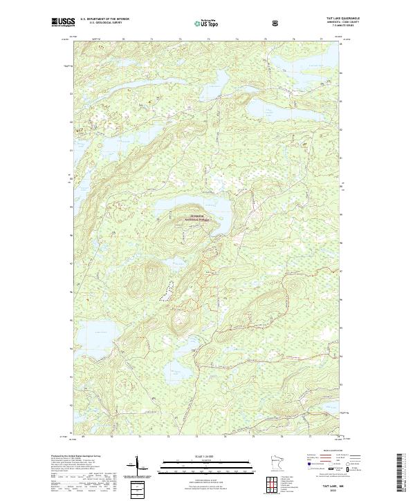
2022 Map of Tait Lake
USGS Topo · Published 2022About this map
Superior National Forest dominates this northern Minnesota landscape, a dense network of glacial lakes and connector streams in Cook County. The area is defined by its recreation and forestry corridors, including the prominent The Grade and the Caribou Trail, which provide access to interior waters like Tait Lake and the larger Lake Clara. The hydrography here is complex, featuring everything from the winding Mississippi Cr in the east to the Tait River which drains toward the southwest. Local history is etched into the landscape through descriptive water names like Mistletoe Lake, Roast Lake, and Strobus Lake. A vast system of specialized paths, such as the Wills Hunter Walking Trl and various loops of the Pike Lake Loop Trl, illustrates the modern use of these woods for backcountry transit and conservation.
Find a feature on this map
51 named features on this map. Tap any name to fly to it.
Don’t see what you’re looking for? This feature index may not catch every label — zoom into the map to look around manually.
Map Details
Editions of this 2022 Tait Lake Map
This is the sole edition of this map. No revisions or reprints were ever made.
Other maps of this area

1919 · Brule Lake
USGS Topo · 1:62,500

1919 · Lutsen
USGS Topo · 1:62,500

1954 · Two Harbors
USGS Topo · 1:250,000

1955 · Tofte
USGS Topo · 1:62,500

1957 · Two Harbors
USGS Topo · 1:250,000

1958 · Two Harbors
USGS Topo · 1:250,000

1958 · Deer Yard Lake
USGS Topo · 1:24,000

1959 · Lutsen
USGS Topo · 1:24,000

1960 · Tait Lake
USGS Topo · 1:24,000

1960 · Mark Lake
USGS Topo · 1:24,000