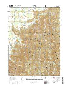
2014 Map of Takilma
USGS Topo · Published 2014About this map
The Siskiyou National Forest dominates this pocket of southwestern Oregon, where the drainage of the East Fork Illinois River carves through a landscape of steep ridges and numerous named gulches. The small settlements of Takilma and Bridgeview occupy the flatter ground near the river, connected by local routes like Takilma Rd and Holland Loop Rd. The map reveals a history of resource extraction and rugged terrain, evidenced by the high concentration of gulches named for individuals or numbered sequences, such as Walker Gulch, Number Seven Gulch, and Browntown Gulch. High points like Elder Mtn, Mt Hope, and Page Mtn offer significant vertical relief above the winding paths of Althouse Cr and its many tributaries. This survey captures the intersection of forestry land, small-scale habitation, and the complex hydraulic network of the Josephine County backcountry.
Find a feature on this map
76 named features on this map. Tap any name to fly to it.
Don’t see what you’re looking for? This feature index may not catch every label — zoom into the map to look around manually.
Map Details
Editions of this 2014 Takilma Map
This is the sole edition of this map. No revisions or reprints were ever made.
Other maps of this area

1908 · Grants Pass
USGS Topo · 1:125,000

1914 · Seiad
USGS Topo · 1:125,000

1917 · Kerby
USGS Topo · 1:125,000

1918 · Kerby
USGS Topo · 1:125,000

1922 · Preston Peak
USGS Topo · 1:125,000

1922 · Seiad
USGS Topo · 1:125,000

1945 · Kerby
USGS Topo · 1:125,000

1948 · Weed
USGS Topo · 1:250,000

1950 · Weed
USGS Topo · 1:250,000

1954 · Cave Junction
USGS Topo · 1:62,500