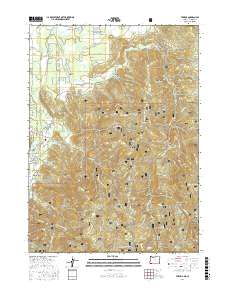
2017 Map of Takilma
USGS Topo · Published 2017About this map
Takilma and Bridgeview anchor this 2017 survey of the Illinois Valley region, where the East Fork Illinois River and Althouse Cr drain the high terrain of the Siskiyou National Forest. The map detail reveals a landscape defined by sharp elevation changes and numerous named gulches, such as Democrat Gulch, Sailor Gulch, and Tartar Gulch, which speak to the area's complex drainage and mining heritage. Forest service roads like Nat For Dev Rd 4804 and Nat For Dev Rd 057 weave through peaks including Elder Mtn and Mt Hope. This modern record of Josephine County topography reflects the enduring network of mountain access roads and small-scale settlements situated between the high ridges of Page Mtn and the fertile bottomlands near Althouse Slough.
Find a feature on this map
92 named features on this map. Tap any name to fly to it.
Don’t see what you’re looking for? This feature index may not catch every label — zoom into the map to look around manually.
Map Details
Editions of this 2017 Takilma Map
This is the sole edition of this map. No revisions or reprints were ever made.
Other maps of this area

1908 · Grants Pass
USGS Topo · 1:125,000

1914 · Seiad
USGS Topo · 1:125,000

1917 · Kerby
USGS Topo · 1:125,000

1918 · Kerby
USGS Topo · 1:125,000

1922 · Preston Peak
USGS Topo · 1:125,000

1922 · Seiad
USGS Topo · 1:125,000

1945 · Kerby
USGS Topo · 1:125,000

1948 · Weed
USGS Topo · 1:250,000

1950 · Weed
USGS Topo · 1:250,000

1954 · Cave Junction
USGS Topo · 1:62,500