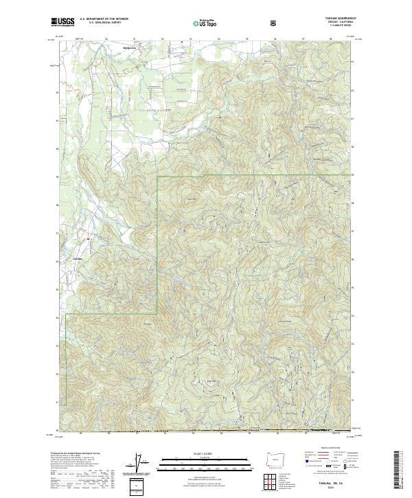
2024 Map of Takilma
USGS Topo · Published 2024About this map
Takilma and Bridgeview anchor this portion of the Illinois Valley along the East Fork Illinois River, illustrating a landscape shaped by both early mining and rugged timberlands. The terrain is defined by a dense network of gulches and ridges, including Democrat Gulch, Tartar Gulch, and Blind Sam Gulch, which drain from the heights of Buckhorn Ridge toward the valley floor. These named features reflect the area's prospecting heritage, while the steep slopes of Elder Mtn and Page Mtn mark the transition into the Siskiyou National Forest.
Find a feature on this map
78 named features on this map. Tap any name to fly to it.
Don’t see what you’re looking for? This feature index may not catch every label — zoom into the map to look around manually.
Map Details
Editions of this 2024 Takilma Map
This is the sole edition of this map. No revisions or reprints were ever made.
Other maps of this area

1908 · Grants Pass
USGS Topo · 1:125,000

1914 · Seiad
USGS Topo · 1:125,000

1917 · Kerby
USGS Topo · 1:125,000

1918 · Kerby
USGS Topo · 1:125,000

1922 · Preston Peak
USGS Topo · 1:125,000

1922 · Seiad
USGS Topo · 1:125,000

1945 · Kerby
USGS Topo · 1:125,000

1948 · Weed
USGS Topo · 1:250,000

1950 · Weed
USGS Topo · 1:250,000

1954 · Cave Junction
USGS Topo · 1:62,500