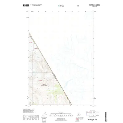
2017 Map of Taku River C-6 NE
USGS Topo · Published 2017About this map
The international boundary between Canada and the United States defines the character of this remote landscape, where the Alaska Juneau Borough meets the wilderness of British Columbia. This high-altitude terrain is dominated by massive ice fields and glacial systems within the Tongass National Forest. Notable features include the expansive Bacon Glacier and the E Twin Glacier, which sit alongside an unnamed Unknown Glacier. The drainage patterns are dictated by these ice masses, with Boundary Cr flowing through the southern portion of the survey. The map provides a precise look at the 2017 topography of these glaciers, documenting the ice extent and elevation contours at a point when such features are subject to significant environmental change. The lack of human infrastructure or roads underscores the extreme isolation of this mountainous border region.
Find a feature on this map
15 named features on this map. Tap any name to fly to it.
Don’t see what you’re looking for? This feature index may not catch every label — zoom into the map to look around manually.
Map Details
Editions of this 2017 Taku River C-6 NE Map
This is the sole edition of this map. No revisions or reprints were ever made.
Other maps of this area

1953 · Taku River
USGS Topo · 1:250,000
1960 · Taku River C-5
USGS Topo · 1:63,360

1960 · Taku River C-6
USGS Topo · 1:63,360

1960 · Taku River
USGS Topo · 1:250,000

1995 · Taku River C-6
USGS Topo · 1:63,360
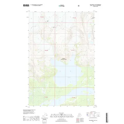
2017 · Taku River C-6 SW
USGS Topo · 1:25,000
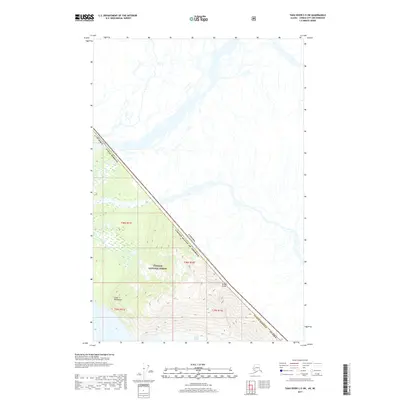
2017 · Taku River C-5 SW
USGS Topo · 1:25,000
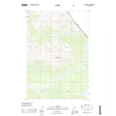
2017 · Taku River C-6 SE
USGS Topo · 1:25,000
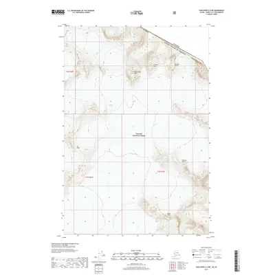
2017 · Taku River C-6 NW
USGS Topo · 1:25,000
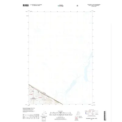
2017 · Taku River C-6 OE N SW
USGS Topo · 1:25,000