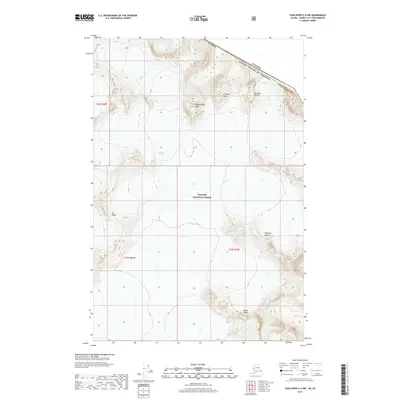
2017 Map of Taku River C-6 NW
USGS Topo · Published 2017About this map
The Alaska and Canada international boundary cuts across this northern landscape, following the high ridges of the Coast Mountains. Much of the terrain is protected within the Tongass National Forest, characterized by dramatic elevation changes and significant ice fields. The map records several named summits that define the skyline, including Taku Peak, Michaels Sword, and the descriptive Frostbite Peak.
Find a feature on this map
17 named features on this map. Tap any name to fly to it.
Don’t see what you’re looking for? This feature index may not catch every label — zoom into the map to look around manually.
Map Details
Editions of this 2017 Taku River C-6 NW Map
This is the sole edition of this map. No revisions or reprints were ever made.
Other maps of this area

1951 · Juneau
USGS Topo · 1:250,000

1953 · Taku River
USGS Topo · 1:250,000

1960 · Taku River C-6
USGS Topo · 1:63,360

1960 · Juneau D-1
USGS Topo · 1:63,360

1960 · Juneau C-1
USGS Topo · 1:63,360

1960 · Taku River
USGS Topo · 1:250,000

1962 · Juneau
USGS Topo · 1:250,000

1995 · Taku River C-6
USGS Topo · 1:63,360
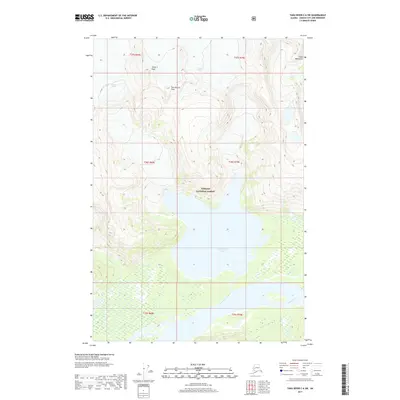
2017 · Taku River C-6 SW
USGS Topo · 1:25,000
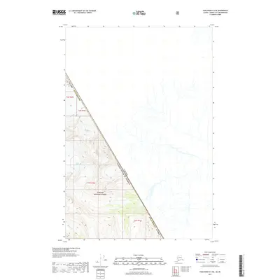
2017 · Taku River C-6 NE
USGS Topo · 1:25,000