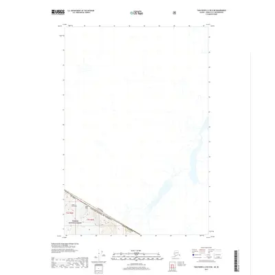
2017 Map of Taku River C-6 OE N SW
USGS Topo · Published 2017About this map
Gisel Peak rises above the borderlands where the Tongass National Forest meets the international boundary between Alaska and Canada. This high-altitude landscape in the Coast Mountains is defined by the massive ice fields and drainage systems of the Unknown Glacier, which flows through the southwestern corner of the quadrangle. The map documents the precise intersection of the Juneau Borough with the sovereign line of the United States of America, illustrating the sheer verticality of the terrain where Township 36 South, Range 68 and 69 East converge. Settlement is entirely absent in this glaciated frontier, leaving the topography and ice to define the character of the wilderness.
Find a feature on this map
10 named features on this map. Tap any name to fly to it.
Don’t see what you’re looking for? This feature index may not catch every label — zoom into the map to look around manually.
Map Details
Editions of this 2017 Taku River C-6 OE N SW Map
This is the sole edition of this map. No revisions or reprints were ever made.
Other maps of this area

1951 · Juneau
USGS Topo · 1:250,000

1953 · Taku River
USGS Topo · 1:250,000

1960 · Taku River C-6
USGS Topo · 1:63,360

1960 · Juneau D-1
USGS Topo · 1:63,360

1960 · Juneau C-1
USGS Topo · 1:63,360

1960 · Taku River
USGS Topo · 1:250,000

1962 · Juneau
USGS Topo · 1:250,000

1995 · Taku River C-6
USGS Topo · 1:63,360
2017 · Taku River C-6 NE
USGS Topo · 1:25,000
2017 · Juneau D-1 SE
USGS Topo · 1:25,000