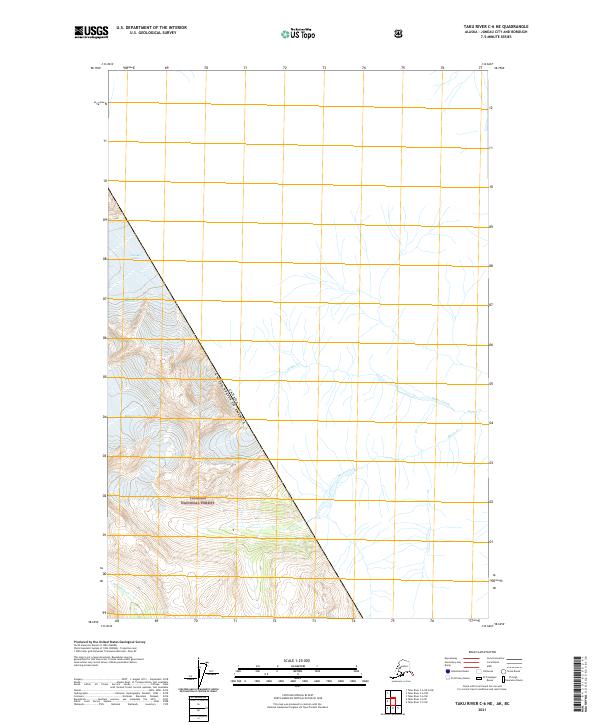
2021 Map of Taku River C-6 NE
USGS Topo · Published 2021About this map
Tongass National Forest dominates the high-altitude terrain along the international border in this remote Alaskan survey. The map details a landscape defined by glacial activity and drainage patterns, specifically the Unknown Glacier and Bacon Glacier which feed into descending waterways. The line between the Canada and United States of America bisects the quadrangle, creating a stark cartographic division across the mountain slopes. Water systems such as Wilms Creek and Bacon Creek flow through the eastern portion of the sheet, while Boundary Cr marks the southwestern corner. The absence of roads or permanent settlements underscores the primitive, protected nature of this wilderness area within the Juneau City and Borough.
Find a feature on this map
13 named features on this map. Tap any name to fly to it.
Don’t see what you’re looking for? This feature index may not catch every label — zoom into the map to look around manually.
Map Details
Editions of this 2021 Taku River C-6 NE Map
This is the sole edition of this map. No revisions or reprints were ever made.
Other maps of this area

1953 · Taku River
USGS Topo · 1:250,000
1960 · Taku River C-5
USGS Topo · 1:63,360

1960 · Taku River C-6
USGS Topo · 1:63,360

1960 · Taku River
USGS Topo · 1:250,000

1995 · Taku River C-6
USGS Topo · 1:63,360
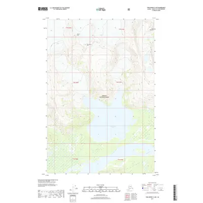
2017 · Taku River C-6 SW
USGS Topo · 1:25,000
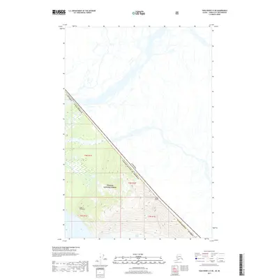
2017 · Taku River C-5 SW
USGS Topo · 1:25,000
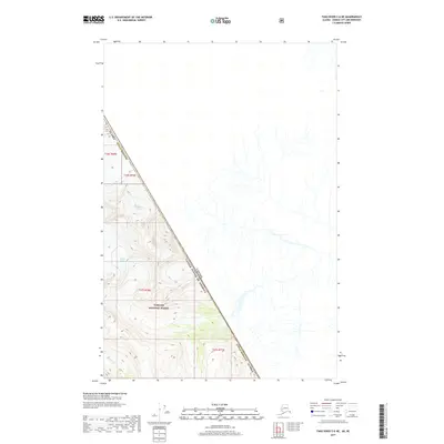
2017 · Taku River C-6 NE
USGS Topo · 1:25,000
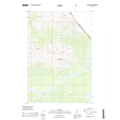
2017 · Taku River C-6 SE
USGS Topo · 1:25,000
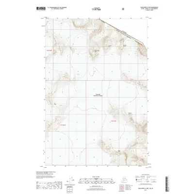
2017 · Taku River C-6 NW
USGS Topo · 1:25,000