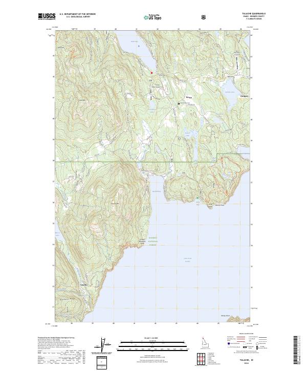
2024 Map of Talache
USGS Topo · Published 2024About this map
Talache sits on the western shores of Lake Pend Oreille, where the legacy of early twentieth-century mining is etched into the landscape. The names Bimetallic Ridge, Gold Mtn, and Gold Gulch signify the area's geological draws, while the small settlement of Talache itself serves as a reminder of the community that formed around these mineral prospects. To the north, the landscape transitions into the residential and agricultural pockets of Broten and Glengary, alongside specialized facilities like the Timber Basin Airpark Inc.
Find a feature on this map
90 named features on this map. Tap any name to fly to it.
Don’t see what you’re looking for? This feature index may not catch every label — zoom into the map to look around manually.
Map Details
Editions of this 2024 Talache Map
This is the sole edition of this map. No revisions or reprints were ever made.
Other maps of this area

1901 · Sandpoint
USGS Topo · 1:125,000

1911 · Priest Lake
USGS Topo · 1:250,000

1911 · Sandpoint
USGS Topo · 1:125,000

1913 · Priest Lake
USGS Topo · 1:250,000

1949 · Packsaddle Mtn
USGS Topo · 1:62,500

1951 · Packsaddle Mtn
USGS Topo · 1:62,500

1951 · Elmira
USGS Topo · 1:62,500

1958 · Sandpoint
USGS Topo · 1:250,000

1963 · Sandpoint
USGS Topo · 1:250,000
1968 · Cocolalla
USGS Topo · 1:24,000