1907 Map of Talbotton
USGS Topo · Published 1936About this map
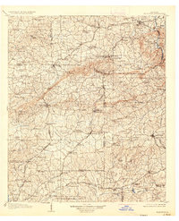
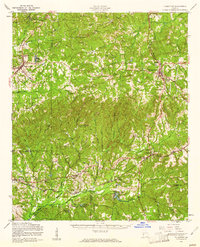
Pine Mountain and Oak Mtn dominate the landscape of west-central Georgia in this early twentieth-century survey, creating a series of gaps that dictated the path of regional travel. Before the modernization of the local infrastructure, the area was defined by its thermal waters and milling industry, with Warm Springs and White Sulphur Springs serving as notable destinations. The agrarian economy is visible through numerous family-named mills, including Dowdell Mill, Greens Mill, and Dallis Mill, which were situated along the tributaries of Mulberry Creek and Upatoi Creek.
Find a feature on this map
145 named features on this map. Tap any name to fly to it.
Don’t see what you’re looking for? This feature index may not catch every label — zoom into the map to look around manually.
Map Details
Editions of this 1907 Talbotton Map
3 editions found

Historical Maps of Columbus Through Time
10 maps found
1907 Talbotton
Talbot County, GA
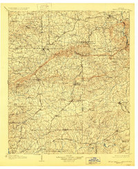
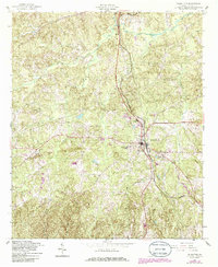
1950 Talbotton
Talbot County, GA
1950 Talbotton
Talbot County, GA
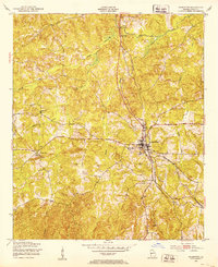
1955 Talbotton
Talbot County, GA
1955 Talbotton
Talbot County, GA
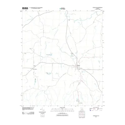
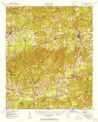
2011 Talbotton
Talbot County, GA
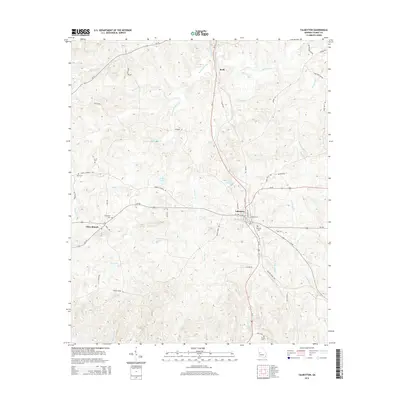
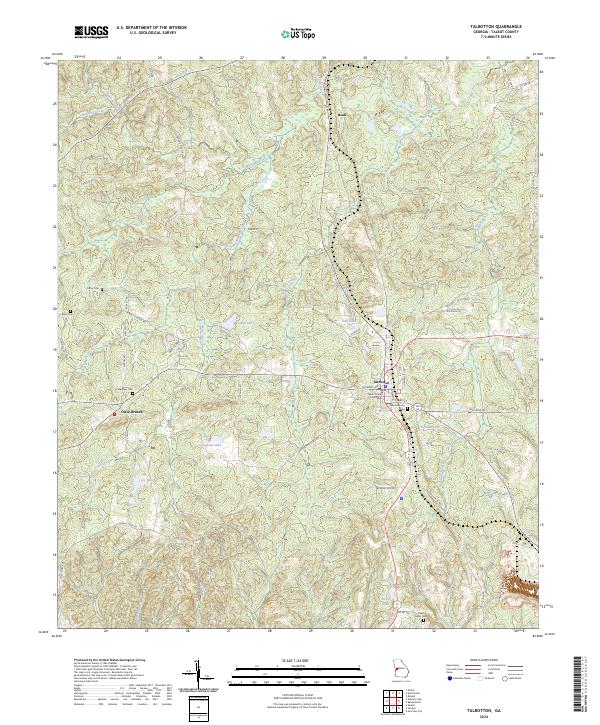
2014 Talbotton
Talbot County, GA
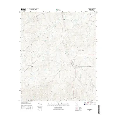
2017 Talbotton
Talbot County, GA
2020 Talbotton
Talbot County, GA
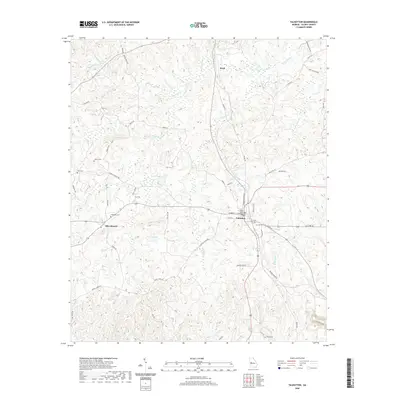
2024 Talbotton
Talbot County, GA