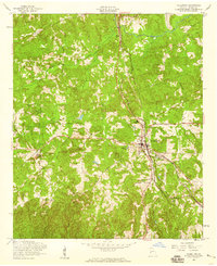
1955 Map of Talbotton
USGS Topo · Published 1959About this map
Talbotton serves as the primary hub of activity in this mid-century survey of Talbot County, situated at the intersection of several regional roads and the Atlantic Coast Line railroad. The town's layout is defined by institutional landmarks such as the Talbotton Sch and Friendship Ch, while the surrounding rural landscape is dotted with smaller communities like Hinton and educational sites like Carter Sch.
Find a feature on this map
18 named features on this map. Tap any name to fly to it.
Don’t see what you’re looking for? This feature index may not catch every label — zoom into the map to look around manually.
Map Details
Editions of this 1955 Talbotton Map
2 editions found
Other maps of this area
1907 · Talbotton
USGS Topo · 1:125,000
1934 · Warm Springs
USGS Topo · 1:62,500
1935 · Thomaston
USGS Topo · 1:48,000
1936 · Warm Springs
USGS Topo · 1:62,500
1939 · Thomaston
USGS Topo · 1:62,500
1949 · Upatoi
USGS Topo · 1:24,000
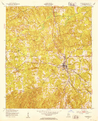
1950 · Talbotton
USGS Topo · 1:24,000
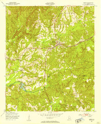
1950 · Geneva
USGS Topo · 1:24,000
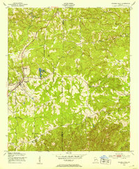
1950 · Waverly Hall
USGS Topo · 1:24,000
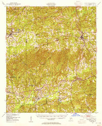
1950 · Talbotton
USGS Topo · 1:62,500