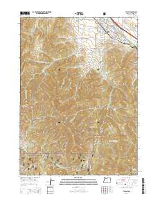
2014 Map of Talent
USGS Topo · Published 2014About this map
Talent occupies the northeast corner of this map, positioned at the convergence of Bear Cr and Wagner Cr. The area is defined by its complex irrigation and water management system, featuring the Talent Middle Canal, McDonald Ditch, and various laterals like the Frederick Lateral that supported the local agriculture. South of the township, the landscape rises sharply into the Rogue River National Forest, where high elevations are marked by Anderson Butte and Wagner Butte. This terrain is deeply incised by numerous gulches, such as Phipps Gulch and Wildcat Gulch, reflecting a transition from the developed valley floor to the protected mountain wilderness. For genealogists, the Stearn Cem is a notable landmark located just south of the town center near Packard Gulch.
Find a feature on this map
88 named features on this map. Tap any name to fly to it.
Don’t see what you’re looking for? This feature index may not catch every label — zoom into the map to look around manually.
Map Details
Editions of this 2014 Talent Map
This is the sole edition of this map. No revisions or reprints were ever made.
Other maps of this area

1891 · Ashland
USGS Topo · 1:250,000

1893 · Ashland
USGS Topo · 1:250,000

1897 · Ashland
USGS Topo · 1:250,000

1938 · Medford
USGS Topo · 1:125,000

1954 · Medford
USGS Topo · 1:62,500

1954 · Lakecreek
USGS Topo · 1:62,500

1954 · Talent
USGS Topo · 1:62,500

1954 · Ashland
USGS Topo · 1:62,500

1955 · Medford
USGS Topo · 1:250,000

1957 · Medford
USGS Topo · 1:250,000