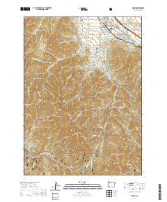
2020 Map of Talent
USGS Topo · Published 2020About this map
The town of Talent serves as the focal point of this Jackson County landscape, situated where the valley floor meets the rising peaks of the Rogue River National Forest. The map documents a sophisticated network of water management essential to the region, featuring the Talent Middle Canal, McDonald Ditch, and Kerby Reservoir, which redirect flows from sources like Anderson Cr and Bear Cr. These irrigation systems reflect the area's agricultural foundations, supporting the orchards and fields that spread out from the town center.
Find a feature on this map
89 named features on this map. Tap any name to fly to it.
Don’t see what you’re looking for? This feature index may not catch every label — zoom into the map to look around manually.
Map Details
Editions of this 2020 Talent Map
This is the sole edition of this map. No revisions or reprints were ever made.
Other maps of this area

1891 · Ashland
USGS Topo · 1:250,000

1893 · Ashland
USGS Topo · 1:250,000

1897 · Ashland
USGS Topo · 1:250,000

1938 · Medford
USGS Topo · 1:125,000

1954 · Medford
USGS Topo · 1:62,500

1954 · Lakecreek
USGS Topo · 1:62,500

1954 · Talent
USGS Topo · 1:62,500

1954 · Ashland
USGS Topo · 1:62,500

1955 · Medford
USGS Topo · 1:250,000

1957 · Medford
USGS Topo · 1:250,000