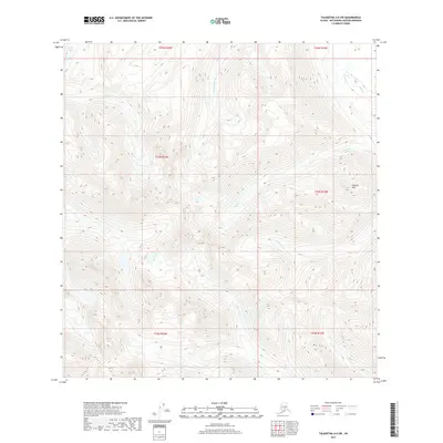
2017 Map of Talkeetna A-6 SW
USGS Topo · Published 2017About this map
Puntilla Mtn dominates the northeastern terrain of this Matanuska-Susitna borough survey, rising as a central landmark amidst a complex drainage network. The landscape is defined by the headwaters and tributaries of several prominent creeks, including Puntilla Cr in the north and the southward-flowing Canyon Cr. This 2017 digital revision by the U.S. Geological Survey provides an intricate look at the high-elevation hydrology of the Talkeetna region, where E Fork Indian Cr and Indian Cr carve through the mountain slopes. In the far northwest corner, Gorley Lake sits as a rare standing water body in an otherwise heavily dissected alpine environment. The mapping illustrates the transition of water from the heights of Puntilla Mtn down through steep seasonal drainages like Squaw Cr, reflecting the topographic character of the Alaska interior before the influence of modern infrastructure.
Find a feature on this map
13 named features on this map. Tap any name to fly to it.
Don’t see what you’re looking for? This feature index may not catch every label — zoom into the map to look around manually.
Map Details
Editions of this 2017 Talkeetna A-6 SW Map
This is the sole edition of this map. No revisions or reprints were ever made.
Other maps of this area

1949 · Tyonek
USGS Topo · 1:250,000

1949 · McGrath
USGS Topo · 1:250,000

1950 · McGrath
USGS Topo · 1:250,000

1950 · Talkeetna
USGS Topo · 1:250,000

1951 · Talkeetna
USGS Topo · 1:250,000

1951 · Tyonek
USGS Topo · 1:250,000

1951 · Lime Hills
USGS Topo · 1:250,000

1958 · Talkeetna A-6
USGS Topo · 1:63,360

1958 · McGrath A-1
USGS Topo · 1:63,360

1958 · Tyonek D-8
USGS Topo · 1:63,360