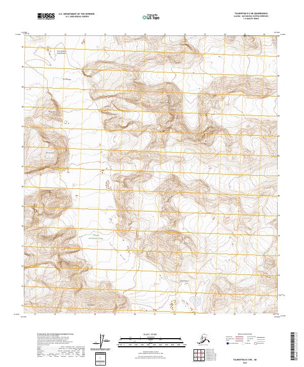
2023 Map of Talkeetna D-2 NE
USGS Topo · Published 2023About this map
Denali National Park encompasses a dramatic vertical landscape where glacial ice and mountain summits dictate the geography. The terrain is defined by massive formations such as the Don Sheldon Amphitheater and the sheer verticality of the Mooses Tooth. Glacial flow paths are evident through features like The Gateway and the deeply carved passage of The Great Gorge, illustrating the raw power of geological forces in this subarctic wilderness. High-altitude peaks named for prominent figures and landmarks, including Mt Dickey, Mt Barrille, and Mt Church, provide fixed points for navigation and mountaineering history. This survey illustrates the intricate contour patterns of the Alaska Range, showing the relationship between ice fields and the surrounding peaks such as Mt Lee and Mt Glisan.
Find a feature on this map
19 named features on this map. Tap any name to fly to it.
Don’t see what you’re looking for? This feature index may not catch every label — zoom into the map to look around manually.
Map Details
Editions of this 2023 Talkeetna D-2 NE Map
This is the sole edition of this map. No revisions or reprints were ever made.
Other maps of this area

1950 · Talkeetna
USGS Topo · 1:250,000

1951 · Talkeetna
USGS Topo · 1:250,000

1952 · Mount McKinley
USGS Topo · 1:250,000

1954 · Mount McKinley A-2
USGS Topo · 1:63,360

1954 · Mount McKinley A-1
USGS Topo · 1:63,360

1958 · Talkeetna D-2
USGS Topo · 1:63,360
1958 · Talkeetna D-1
USGS Topo · 1:63,360

1958 · Talkeetna
USGS Topo · 1:250,000

1958 · Mount McKinley
USGS Topo · 1:250,000

1965 · Talkeetna
USGS Topo · 1:250,000