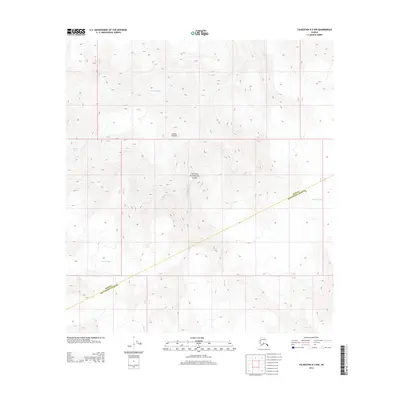
2014 Map of Talkeetna D-3 NW
USGS Topo · Published 2014About this map
Mount Foraker dominates this high-altitude landscape within the boundaries of Denali National Park. This 2014 survey captures a terrain defined by massive ice systems and the convergence of the Denali Matanuska-Susitna boundary. The map provides precise documentation of the glacial reaches, including the Kahiltna Glacier to the east and the Lacuna Glacier to the southwest. To the northwest, the Foraker Glacier and Herron Glacier descend from the steep topographic ridges. The presence of these active ice flows, recorded here in the early 21st century, offers a baseline for tracking the movement and extent of the park's most significant ice fields near one of the continent's highest peaks.
Find a feature on this map
7 named features on this map. Tap any name to fly to it.
Don’t see what you’re looking for? This feature index may not catch every label — zoom into the map to look around manually.
Map Details
Editions of this 2014 Talkeetna D-3 NW Map
This is the sole edition of this map. No revisions or reprints were ever made.
Other maps of this area

1950 · Talkeetna
USGS Topo · 1:250,000

1951 · Talkeetna
USGS Topo · 1:250,000

1952 · Mount McKinley
USGS Topo · 1:250,000

1953 · Mount McKinley A-4
USGS Topo · 1:63,360

1954 · Mount McKinley A-4
USGS Topo · 1:63,360

1954 · Mount McKinley A-3
USGS Topo · 1:63,360

1958 · Talkeetna D-4
USGS Topo · 1:63,360

1958 · Talkeetna D-3
USGS Topo · 1:63,360

1958 · Talkeetna
USGS Topo · 1:250,000

1958 · Mount McKinley
USGS Topo · 1:250,000