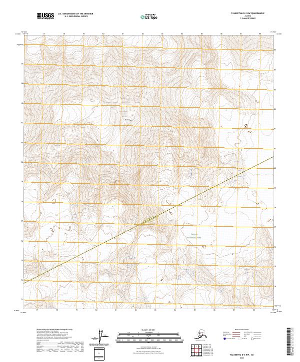
2023 Map of Talkeetna D-3 NW
USGS Topo · Published 2023About this map
Mt Foraker dominates the high-altitude topography of this interior Alaska landscape, positioned near the northern boundary of a terrain defined by massive glaciation and dramatic vertical relief. Much of the southern and eastern portions of the sheet are preserved within Denali National Park and the expansive Denali Wilderness, protecting a primitive environment devoid of modern infrastructure or permanent settlements. The map also delineates the geopolitical boundary between the Denali Borough and Matanuska-Susitna Borough, which cuts diagonally across the central peaks. This 2023 survey serves as a precise record of the current glacial extents and the complex drainage patterns feeding off the south-facing slopes of the Alaska Range.
Find a feature on this map
12 named features on this map. Tap any name to fly to it.
Don’t see what you’re looking for? This feature index may not catch every label — zoom into the map to look around manually.
Map Details
Editions of this 2023 Talkeetna D-3 NW Map
This is the sole edition of this map. No revisions or reprints were ever made.
Other maps of this area

1950 · Talkeetna
USGS Topo · 1:250,000

1951 · Talkeetna
USGS Topo · 1:250,000

1952 · Mount McKinley
USGS Topo · 1:250,000

1953 · Mount McKinley A-4
USGS Topo · 1:63,360

1954 · Mount McKinley A-4
USGS Topo · 1:63,360

1954 · Mount McKinley A-3
USGS Topo · 1:63,360

1958 · Talkeetna D-4
USGS Topo · 1:63,360

1958 · Talkeetna D-3
USGS Topo · 1:63,360

1958 · Talkeetna
USGS Topo · 1:250,000

1958 · Mount McKinley
USGS Topo · 1:250,000