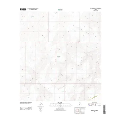
2014 Map of Talkeetna D-4 NE
USGS Topo · Published 2014About this map
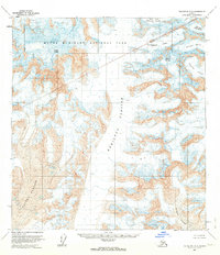
Denali National Park encompasses the majority of this landscape, defining a region where extreme topography and glacial movement dictate the environment. High-elevation peaks give way to massive ice fields, including Herron Glacier in the northeast and the expansive Yentna Glacier and Lacuna Glacier to the south. These ice masses are central to the hydrology of the area, feeding the headwaters of the Swift Fork as it flows through the northwestern reaches. The map documents the boundary between the national park and Matanuska-Susitna, highlighting the administrative limits within this uninhabited wilderness. The absence of roads or man-made structures underscores the isolation of the Alaska Range during this period, where only township and range lines like R 13 W and R 12 W provide a grid for navigation.
Find a feature on this map
10 named features on this map. Tap any name to fly to it.
Don’t see what you’re looking for? This feature index may not catch every label — zoom into the map to look around manually.
Map Details
Editions of this 2014 Talkeetna D-4 NE Map
This is the sole edition of this map. No revisions or reprints were ever made.
Other maps of this area
1950 · Talkeetna
USGS Topo · 1:250,000
1951 · Talkeetna
USGS Topo · 1:250,000
1952 · Mount McKinley
USGS Topo · 1:250,000
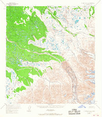
1953 · Mount McKinley A-4
USGS Topo · 1:63,360
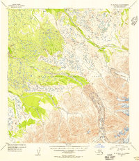
1954 · Mount McKinley A-4
USGS Topo · 1:63,360
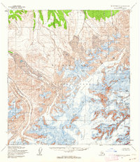
1954 · Mount McKinley A-3
USGS Topo · 1:63,360
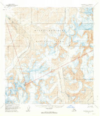
1958 · Talkeetna D-4
USGS Topo · 1:63,360
1958 · Talkeetna D-3
USGS Topo · 1:63,360
1958 · Talkeetna
USGS Topo · 1:250,000
1958 · Mount McKinley
USGS Topo · 1:250,000