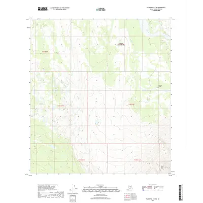
2017 Map of Talkeetna D-5 NW
USGS Topo · Published 2017About this map
Denali National Park encompasses the northern portion of this remote interior Alaska landscape, where the high-altitude terrain is defined by glacial drainage and isolated landing strips. The Swift Fork river cuts across the northeast corner, fed by a network of seasonal streams including Boulder Creek, Canyon Cr, and Camp Cr. In the southeast, the dramatic topography of Brown Bear Basin rises sharply, illustrating the complex vertical relief of the Alaska Range foothills. Human presence is minimal, marked primarily by the Purkeypile Airport, a vital access point for this wilderness area. West of the park boundary, Scotty Lake sits among a cluster of smaller alpine ponds and wetlands, showcasing the hydrologic transition from steep ridges to flatter, water-carved valleys during this 2017 survey.
Find a feature on this map
16 named features on this map. Tap any name to fly to it.
Don’t see what you’re looking for? This feature index may not catch every label — zoom into the map to look around manually.
Map Details
Editions of this 2017 Talkeetna D-5 NW Map
This is the sole edition of this map. No revisions or reprints were ever made.
Other maps of this area
1950 · Talkeetna
USGS Topo · 1:250,000
1951 · Talkeetna
USGS Topo · 1:250,000
1952 · Mount McKinley
USGS Topo · 1:250,000
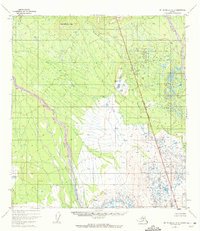
1952 · Mount McKinley A-5
USGS Topo · 1:63,360
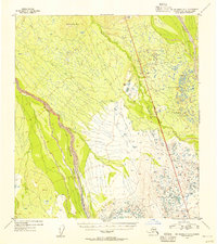
1954 · Mount McKinley A-5
USGS Topo · 1:63,360
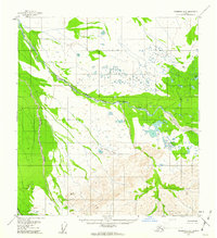
1958 · Talkeetna D-6
USGS Topo · 1:63,360
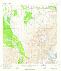
1958 · Talkeetna D-5
USGS Topo · 1:63,360
1958 · Talkeetna
USGS Topo · 1:250,000
1958 · Mount McKinley A-6
USGS Topo · 1:63,360
1958 · Mount McKinley
USGS Topo · 1:250,000