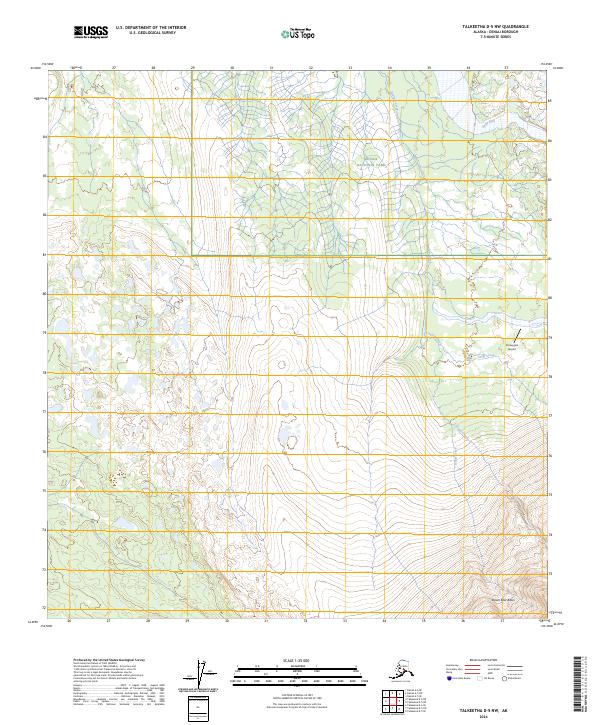
2024 Map of Talkeetna D-5 NW
USGS Topo · Published 2024About this map
Denali National Park encompasses the northern portion of this landscape, where the Swift Fork river cuts across the high terrain. The area is defined by a complex drainage network, including Boulder Creek and the intersection of Camp Creek and Canyon Creek near the Purkeypile Airport. This airfield serves as a vital point of access in a region devoid of major road infrastructure, suggesting the reliance on bush aviation for movement through this part of the Alaska Range interior. To the south, the terrain descends toward Brown Bear Basin, a prominent geographic feature that gathers the flow of Basin Creek. The map provides a detailed view of the township and range divisions, such as t22s r25w and t33n r16w, which trace the administrative survey of this wilderness area.
Find a feature on this map
14 named features on this map. Tap any name to fly to it.
Don’t see what you’re looking for? This feature index may not catch every label — zoom into the map to look around manually.
Map Details
Editions of this 2024 Talkeetna D-5 NW Map
This is the sole edition of this map. No revisions or reprints were ever made.
Other maps of this area

1950 · Talkeetna
USGS Topo · 1:250,000

1951 · Talkeetna
USGS Topo · 1:250,000

1952 · Mount McKinley
USGS Topo · 1:250,000

1952 · Mount McKinley A-5
USGS Topo · 1:63,360

1954 · Mount McKinley A-5
USGS Topo · 1:63,360

1958 · Talkeetna D-6
USGS Topo · 1:63,360

1958 · Talkeetna D-5
USGS Topo · 1:63,360

1958 · Talkeetna
USGS Topo · 1:250,000

1958 · Mount McKinley A-6
USGS Topo · 1:63,360

1958 · Mount McKinley
USGS Topo · 1:250,000