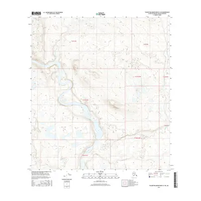
2016 Map of Talkeetna Mountains D-1 NE
USGS Topo · Published 2016About this map
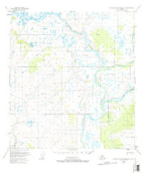
Susitna River snakes through this high-latitude terrain, forming a wide, braided channel that dominates the central geography of the quadrangle. The hydrology of the region is defined by significant tributaries such as Waterfall Cr, which descends from the northwest, and Clearwater Cr in the southern reaches. This 2016 survey by the U.S. Geological Survey illustrates a wilderness landscape largely shaped by these waterways and the complex relief of the Talkeetna Mountains. The map provides a precise look at the township and range intersections, including the meeting points of t22s r3e, t33n r12e, and t13n r10w, which serve as the primary markers for land division in this unsettled portion of the Matanuska-Susitna Borough.
Find a feature on this map
12 named features on this map. Tap any name to fly to it.
Don’t see what you’re looking for? This feature index may not catch every label — zoom into the map to look around manually.
Map Details
Editions of this 2016 Talkeetna Mountains D-1 NE Map
This is the sole edition of this map. No revisions or reprints were ever made.
Other maps of this area
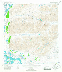
1949 · Healy A-1
USGS Topo · 1:63,360

1950 · Talkeetna Mountains
USGS Topo · 1:250,000
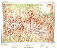
1950 · Mount Hayes
USGS Topo · 1:250,000
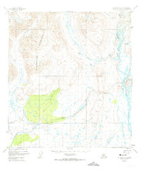
1950 · Mount Hayes A-6
USGS Topo · 1:63,360
1951 · Healy
USGS Topo · 1:250,000
1951 · Gulkana
USGS Topo · 1:250,000
1951 · Mount Hayes
USGS Topo · 1:250,000
1951 · Gulkana D-6
USGS Topo · 1:63,360
1951 · Talkeetna Mountains D-1
USGS Topo · 1:63,360
1952 · Talkeetna Mountains D-1
USGS Topo · 1:63,360