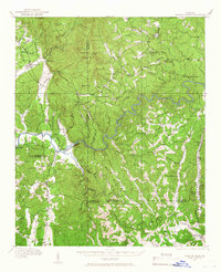
1914 Map of Talking Rock
USGS Topo · Published 1966About this map
The Coosawattee River and Talking Rock Creek carve through this North Georgia landscape at the dawn of the twentieth century, where the mountains of Murray, Gordon, and Pickens counties meet. The presence of the Louisville and Nashville railroad anchors several small rail-stop settlements like Whitestone and Talking Rock, which served as vital transport hubs for the region's early marble and timber industries.
Find a feature on this map
72 named features on this map. Tap any name to fly to it.
Don’t see what you’re looking for? This feature index may not catch every label — zoom into the map to look around manually.
Map Details
Editions of this 1914 Talking Rock Map
2 editions found

Other maps of this area

1886 · Dalton
USGS Topo · 1:125,000

1888 · Ellijay
USGS Topo · 1:125,000

1890 · Suwanee
USGS Topo · 1:125,000

1890 · Cartersville
USGS Topo · 1:125,000

1891 · Cartersville
USGS Topo · 1:125,000

1892 · Ellijay
USGS Topo · 1:125,000

1892 · Dalton
USGS Topo · 1:125,000

1894 · Suwanee
USGS Topo · 1:125,000

1896 · Cartersville
USGS Topo · 1:125,000

1897 · Dalton
USGS Topo · 1:125,000