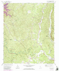
1971 Map of Talking Rock
USGS Topo · Published 1986About this map
The Seaboard rail line dictates the industrial and residential development of the eastern corridor on this Georgia survey, connecting the settlements of Talona, Whitestone, and Talking Rock. This transport artery supported local extractive industries, as evidenced by the cluster of Quarries and a Quarry near Fisher Creek. In the rugged interior, the landscape is defined by the winding course of Talking Rock Creek and the expansive Talking Rock State Wildlife Management Area, where human presence is marked primarily by small country churches such as Dill Mountain Ch and Mt Pisgah Ch.
Find a feature on this map
42 named features on this map. Tap any name to fly to it.
Don’t see what you’re looking for? This feature index may not catch every label — zoom into the map to look around manually.
Map Details
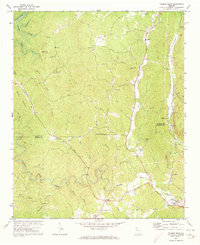
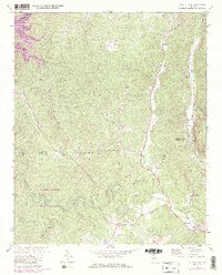
Editions of this 1971 Talking Rock Map
3 editions found
Other maps of this area

1886 · Dalton
USGS Topo · 1:125,000

1888 · Ellijay
USGS Topo · 1:125,000

1890 · Suwanee
USGS Topo · 1:125,000

1890 · Cartersville
USGS Topo · 1:125,000

1891 · Cartersville
USGS Topo · 1:125,000

1892 · Ellijay
USGS Topo · 1:125,000

1892 · Dalton
USGS Topo · 1:125,000

1894 · Suwanee
USGS Topo · 1:125,000

1896 · Cartersville
USGS Topo · 1:125,000

1897 · Dalton
USGS Topo · 1:125,000